

Lozere - Trelans sous le Mailhe-Biau 17km 459m

RandoVal
Gebruiker

Lengte
16,9 km

Max. hoogte
1416 m

Positief hoogteverschil
487 m

Km-Effort
23 km

Min. hoogte
951 m

Negatief hoogteverschil
484 m
Boucle
Ja
Datum van aanmaak :
2018-09-12 19:08:56.02
Laatste wijziging :
2022-01-31 20:47:36.012
5h00
Moeilijkheid : Moeilijk

Gratisgps-wandelapplicatie
Over ons
Tocht Stappen van 16,9 km beschikbaar op Occitanië, Lozère, Trélans. Deze tocht wordt voorgesteld door RandoVal.
Beschrijving
Boucle en Aubrac. Départ de Trélans sens anti-horaire. montée vers le Mailhe-Biau. Passage dans les patures, suivre la trace GPS.
Plaatsbepaling
Land:
France
Regio :
Occitanië
Departement/Provincie :
Lozère
Gemeente :
Trélans
Locatie:
Unknown
Vertrek:(Dec)
Vertrek:(UTM)
507348 ; 4927439 (31T) N.
Opmerkingen
Wandeltochten in de omgeving
Trélans Aubrac - Croix du Pal


Noords wandelen
Gemakkelijk
(1)
Trélans,
Occitanië,
Lozère,
France

10,3 km | 14,1 km-effort
2h 30min
Ja
SityTrail - Le Brouillet - Cascade du Saltou


Noords wandelen
Medium
Saint-Pierre-de-Nogaret,
Occitanië,
Lozère,
France

14,2 km | 18,7 km-effort
2h 50min
Ja
Mon chemin de St Guilhem étape 4


Stappen
Medium
Trélans,
Occitanië,
Lozère,
France

19 km | 26 km-effort
5h 31min
Neen
Étape 4 Saint Gilhem


Stappen
Zeer moeilijk
Trélans,
Occitanië,
Lozère,
France

19,1 km | 26 km-effort
6h 7min
Neen

Lou saltou


Stappen
Gemakkelijk
Les Hermaux,
Occitanië,
Lozère,
France

17,4 km | 23 km-effort
4h 53min
Ja
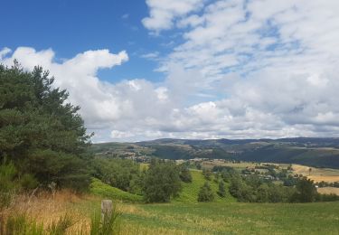
la croix du Pal


Stappen
Medium
Saint-Pierre-de-Nogaret,
Occitanië,
Lozère,
France

19,1 km | 26 km-effort
5h 1min
Ja
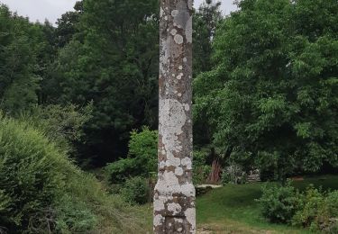
Les plagnes à Saint Chely l'aubrac


Stappen
Zeer moeilijk
Trélans,
Occitanië,
Lozère,
France

26 km | 33 km-effort
8h 37min
Neen
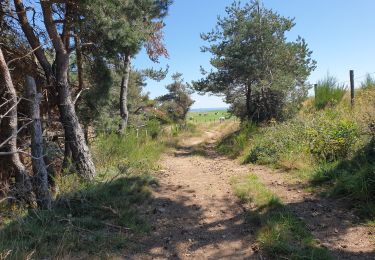
nogardel in live


Stappen
Medium
Saint-Pierre-de-Nogaret,
Occitanië,
Lozère,
France

21 km | 28 km-effort
5h 14min
Ja

Atlamed - Plagnes - La Canourgue


Andere activiteiten
Heel gemakkelijk
Trélans,
Occitanië,
Lozère,
France

25 km | 32 km-effort
5h 57min
Neen


 SityTrail


