


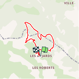

14,7 km | 26 km-effort


Gebruiker


Gratisgps-wandelapplicatie
 SityTrail
IGN / Geografische instituten
SityTrail World
De wereld gaat voor u open
Tocht Sneeuwschoenen van 6,4 km beschikbaar op Provence-Alpes-Côte d'Azur, Hautes-Alpes, Freissinières. Deze tocht wordt voorgesteld door markford.
Tour Classique.
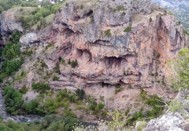
Bel Vues sur Des Ecrins et Guillestre/Montdauphine. Pic Le Simous ideal pour cassé le croûte.

Stappen
Stappen

Stappen
Stappen
Stappen
Stappen
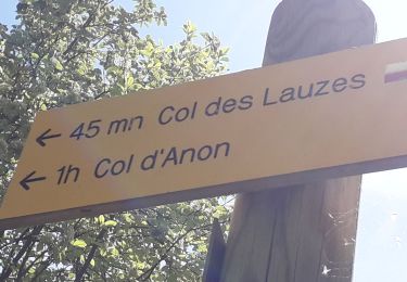
Stappen
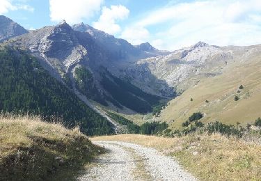
Stappen
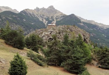
Stappen