


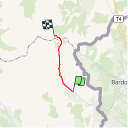

4,2 km | 5,9 km-effort

Gebruiker


Gratisgps-wandelapplicatie
 SityTrail
IGN / Geografische instituten
SityTrail World
De wereld gaat voor u open
Tocht Stappen van 8,6 km beschikbaar op Provence-Alpes-Côte d'Azur, Hautes-Alpes, Névache. Deze tocht wordt voorgesteld door reneperrin.
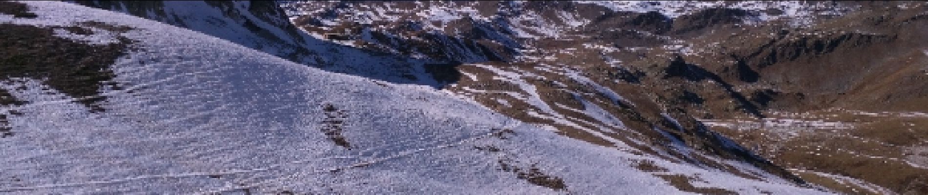
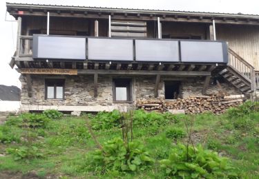
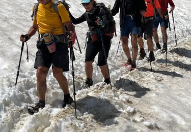
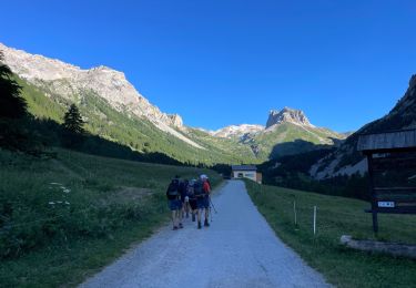
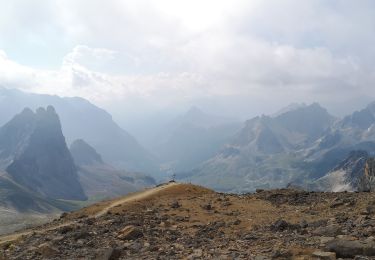
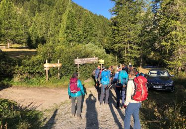
départ du parking, traversée du hameau avec de très beaux chalets, montée vers un belvédère qui domine la vallée étroite, puis montée progressive et régulière vers le col de la vallée étroite d'où on aperçoit le refuge.


Stappen

Mountainbike

Stappen

Stappen
Stappen

sport
Stappen
Stappen
Stappen