


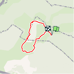


15,1 km | 23 km-effort


Gebruiker


Gratisgps-wandelapplicatie
 SityTrail
IGN / Geografische instituten
SityTrail World
De wereld gaat voor u open
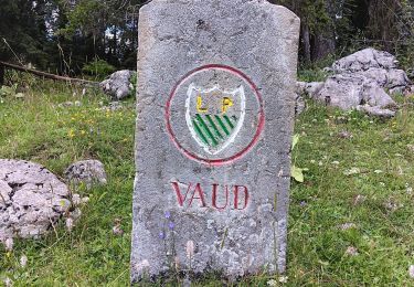
Tocht Stappen van 6,2 km beschikbaar op Waadland, District de Nyon, Chéserex. Deze tocht wordt voorgesteld door tonymeyer.
Départ à l'altitude 1465m au parking à 600m en dessous de La Barillette.
Ballade dans le sens inverse des aiguilles d'une montre. Partir à travers la combe pour rejoindre le sentier menant au Col de Porte et à La Dôle. Descente par l'arrête SW et le Chalet de La Dôle.
Par beau temps, vue splendide sur la chaine des Alpes.
Par temps de bise, il peut y avoir de fortes rafales au sommet!


Stappen

Stappen

Te voet
Te voet
Stappen
Stappen
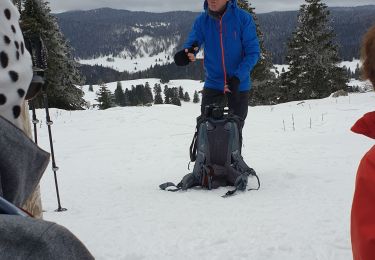
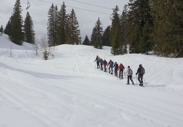
Sneeuwschoenen
Stappen
Sneeuwschoenen