


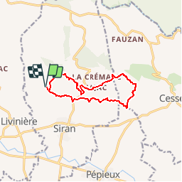


12,6 km | 17,8 km-effort


Gebruiker


Gratisgps-wandelapplicatie
 SityTrail
IGN / Geografische instituten
SityTrail World
De wereld gaat voor u open
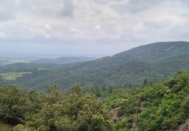
Tocht Stappen van 11,3 km beschikbaar op Occitanië, Hérault, Siran. Deze tocht wordt voorgesteld door Pierre11.
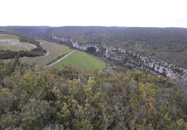
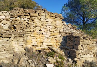
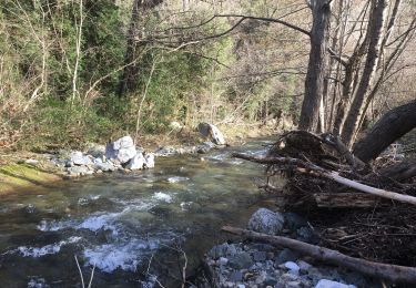
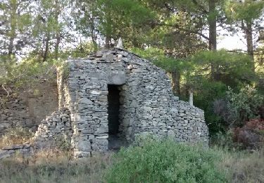
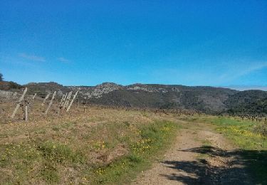
De N-D de Centeilles (parking), balade dans le Minervois jusqu'à la chapelle St-Germain dans un bosquet. Retour par la Martelle
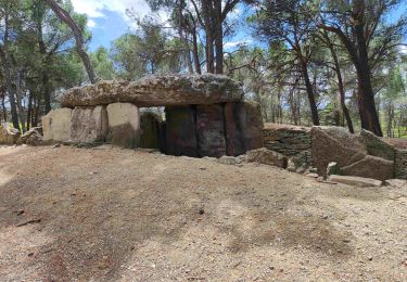
Détour possible (non matérialisé ici) par le Dolmen des Fades au bord de la D 168( 2 km)
Voir autre tracé en passant au dolmen


Stappen
Stappen
Stappen
Stappen
Stappen
Stappen
Stappen
Stappen

Stappen