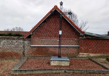
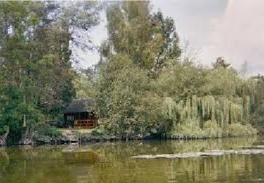
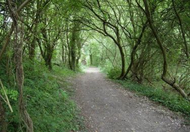
21 km | 22 km-effort
Mont de Corbie
Cheyenne80
Gebruiker
Lengte
13,9 km
Max. hoogte
96 m
Positief hoogteverschil
148 m
Km-Effort
15,9 km
Min. hoogte
25 m
Negatief hoogteverschil
148 m
Boucle
Ja
Datum van aanmaak :
2016-10-09 00:00:00.0
Laatste wijziging :
2016-10-09 00:00:00.0
3h29
Moeilijkheid : Onbekend
Gratisgps-wandelapplicatie
Over ons
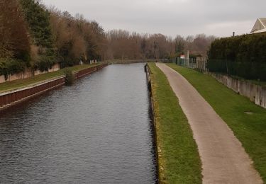
Tocht Stappen van 13,9 km beschikbaar op Hauts-de-France, Somme, Pont-Noyelles. Deze tocht wordt voorgesteld door Cheyenne80.
Plaatsbepaling
Land:
France
Regio :
Hauts-de-France
Departement/Provincie :
Somme
Gemeente :
Pont-Noyelles
Locatie:
Unknown
Vertrek:(Dec)
Vertrek:(UTM)
459703 ; 5531497 (31U) N.
Opmerkingen
Wandeltochten in de omgeving
Les rives de Somme de Corbie à Amiens
Stappen
Medium
Corbie,
Hauts-de-France,
Somme,
France
4h 31min
Neen
Le Passage aux Loups
Te voet
Gemakkelijk
Daours,
Hauts-de-France,
Somme,
France
13,9 km | 15,9 km-effort
3h 36min
Ja
30 juil. 2019 14:04:21
Quad
Medium
(1)
Fouilloy,
Hauts-de-France,
Somme,
France
103 km | 122 km-effort
Onbekend
Neen
Le passage aux loups - Pont-Noyelles
Mountainbike
Medium
Pont-Noyelles,
Hauts-de-France,
Somme,
France
13,8 km | 15,7 km-effort
1h 15min
Ja
Le passage aux loups - Pont-Noyelles
Stappen
Moeilijk
(1)
Pont-Noyelles,
Hauts-de-France,
Somme,
France
13,8 km | 15,7 km-effort
4h 40min
Ja
2022-05-08_16h40m10_SityTrail - 2795546 - rando-fouilloy
Quad
Gemakkelijk
Fouilloy,
Hauts-de-France,
Somme,
France
73 km | 84 km-effort
Onbekend
Neen
Le passage aux loups - Pont-Noyelles
Mountainbike
Medium
Pont-Noyelles,
Hauts-de-France,
Somme,
France
13,8 km | 15,8 km-effort
1h 15min
Ja
Le circuit des monts
Stappen
Medium
Béhencourt,
Hauts-de-France,
Somme,
France
16,4 km | 18,6 km-effort
Onbekend
Ja
frechencourt
Stappen
Medium
Fréchencourt,
Hauts-de-France,
Somme,
France
20 km | 24 km-effort
4h 5min
Ja