


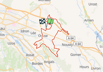

3,3 km | 3,6 km-effort


Gebruiker


Gratisgps-wandelapplicatie
 SityTrail
IGN / Geografische instituten
SityTrail World
De wereld gaat voor u open
Tocht Mountainbike van 35 km beschikbaar op Nieuw-Aquitanië, Pyrénées-Atlantiques, Sendets. Deze tocht wordt voorgesteld door potofe.
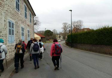
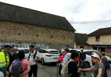
Un passage privé, près d'une palombière, après avoir quitter le chemin Henri IV, au lieu dit Bistarou.
Pas de pb en dehors de la période de chasse à la Palombe.

Stappen


sport

Stappen

Stappen
Stappen
Stappen
Stappen
Stappen
Stappen