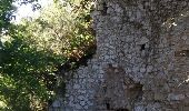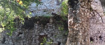

Charlas: gorges de la Save

pidjam
Gebruiker

Lengte
16,7 km

Max. hoogte
436 m

Positief hoogteverschil
310 m

Km-Effort
21 km

Min. hoogte
279 m

Negatief hoogteverschil
306 m
Boucle
Ja
Datum van aanmaak :
2016-09-29 00:00:00.0
Laatste wijziging :
2016-09-29 00:00:00.0
4h33
Moeilijkheid : Gemakkelijk

Gratisgps-wandelapplicatie
Over ons
Tocht Stappen van 16,7 km beschikbaar op Occitanië, Haute-Garonne, Charlas. Deze tocht wordt voorgesteld door pidjam.
Beschrijving
Belle promenade dans la campagne qui s'achève sur les gorges de la Save (à l'ombre et au frais). La route des gorges est fermée à la circulation; elle est bordée de nombreux abris sous roches préhistoriques.
(pique nique possible à La Coume près de Montmaurin)
Plaatsbepaling
Land:
France
Regio :
Occitanië
Departement/Provincie :
Haute-Garonne
Gemeente :
Charlas
Locatie:
Unknown
Vertrek:(Dec)
Vertrek:(UTM)
312062 ; 4789965 (31T) N.
Opmerkingen
Wandeltochten in de omgeving
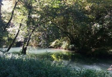
Charlas: gorges de la Save


Stappen
Gemakkelijk
(1)
Charlas,
Occitanië,
Haute-Garonne,
France

16,7 km | 21 km-effort
4h 33min
Ja
2021-03-13 Saint Marcet boucle avec tour du chateau


Stappen
Moeilijk
Saint-Marcet,
Occitanië,
Haute-Garonne,
France

9,3 km | 12,5 km-effort
2h 50min
Ja
Gorges de la Save - Montmaurin


Stappen
Medium
(2)
Montmaurin,
Occitanië,
Haute-Garonne,
France

10,7 km | 13,7 km-effort
2h 43min
Neen

Gorges Save


Stappen
Gemakkelijk
Cardeilhac,
Occitanië,
Haute-Garonne,
France

21 km | 0 m-effort
5h 16min
Neen

31_Montmaurin


Stappen
Medium
Sarremezan,
Occitanië,
Haute-Garonne,
France

18,7 km | 24 km-effort
4h 33min
Neen

Montmaurin


Stappen
Heel gemakkelijk
Montmaurin,
Occitanië,
Haute-Garonne,
France

16,6 km | 21 km-effort
5h 8min
Ja

31_Ciadoux long


Stappen
Medium
Ciadoux,
Occitanië,
Haute-Garonne,
France

17,4 km | 22 km-effort
5h 29min
Ja

31_Ciadoux court


Stappen
Heel gemakkelijk
Ciadoux,
Occitanië,
Haute-Garonne,
France

14,8 km | 18,3 km-effort
3h 1min
Ja

31_Ciadoux_2circuits


Stappen
Medium
Ciadoux,
Occitanië,
Haute-Garonne,
France

32 km | 40 km-effort
9h 0min
Ja


 SityTrail


