


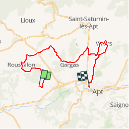

11,5 km | 15,4 km-effort


Randonnées de Vélo Loisir Provence GUIDE+


Gratisgps-wandelapplicatie
 SityTrail
IGN / Geografische instituten
SityTrail World
De wereld gaat voor u open
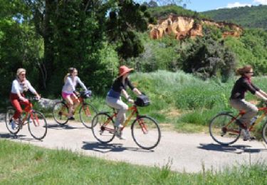
Tocht Fiets van 28 km beschikbaar op Provence-Alpes-Côte d'Azur, Vaucluse, Gargas. Deze tocht wordt voorgesteld door Vélo Loisir Provence.
Parcours vélo du jour 5 de L'échappée Belge en Luberon !
Mountainbike
Stappen
Stappen
Stappen
Stappen
Stappen

Stappen
Fiets
Fiets