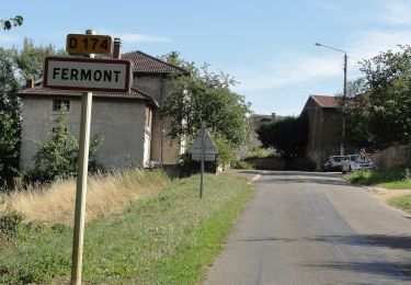
8,8 km | 10,9 km-effort
DONCOURT 08-09-16
patdecosnes
Gebruiker
Lengte
10,5 km
Max. hoogte
353 m
Positief hoogteverschil
208 m
Km-Effort
13,2 km
Min. hoogte
249 m
Negatief hoogteverschil
208 m
Boucle
Ja
Datum van aanmaak :
2019-04-30 18:16:55.655
Laatste wijziging :
2019-04-30 18:16:55.739
2h52
Moeilijkheid : Medium
Gratisgps-wandelapplicatie
Over ons
Tocht Stappen van 10,5 km beschikbaar op Grand Est, Meurthe-et-Moselle, Doncourt-lès-Longuyon. Deze tocht wordt voorgesteld door patdecosnes.
Beschrijving
Le sentier de la Becassiere
Plaatsbepaling
Land:
France
Regio :
Grand Est
Departement/Provincie :
Meurthe-et-Moselle
Gemeente :
Doncourt-lès-Longuyon
Locatie:
Unknown
Vertrek:(Dec)
Vertrek:(UTM)
697029 ; 5479912 (31U) N.
Opmerkingen
Wandeltochten in de omgeving
Circuit de Fermont
Te voet
Gemakkelijk
(1)
Beuveille,
Grand Est,
Meurthe-et-Moselle,
France
2h 28min
Neen
boismont 28.11.2024
Stappen
Medium
(1)
Boismont,
Grand Est,
Meurthe-et-Moselle,
France
7,7 km | 8,9 km-effort
2h 1min
Ja
doncourt cites - fort de fermont
Te voet
Gemakkelijk
Baslieux,
Grand Est,
Meurthe-et-Moselle,
France
8 km | 9,9 km-effort
2h 14min
Neen
ugny 23.05.2024
Te voet
Gemakkelijk
Cons-la-Grandville,
Grand Est,
Meurthe-et-Moselle,
France
7,3 km | 9,2 km-effort
2h 4min
Ja
marche28. 03
Stappen
Medium
Ville-au-Montois,
Grand Est,
Meurthe-et-Moselle,
France
6,5 km | 7,4 km-effort
2h 13min
Ja
BOISMONT 2023-12-21
Stappen
Medium
Boismont,
Grand Est,
Meurthe-et-Moselle,
France
7,2 km | 8,3 km-effort
1h 42min
Ja
UGNY 2023-10-11
Stappen
Medium
Ugny,
Grand Est,
Meurthe-et-Moselle,
France
7,3 km | 8,9 km-effort
1h 56min
Ja
boismont 5.10.23
Te voet
Gemakkelijk
Boismont,
Grand Est,
Meurthe-et-Moselle,
France
7,2 km | 8,9 km-effort
2h 1min
Ja
les convers
Stappen
Medium
Montigny-sur-Chiers,
Grand Est,
Meurthe-et-Moselle,
France
8,4 km | 10,1 km-effort
2h 42min
Ja