15,7 km | 17,5 km-effort
Plampied Givaudins
jlrayon
Gebruiker
Lengte
8,9 km
Max. hoogte
157 m
Positief hoogteverschil
81 m
Km-Effort
10 km
Min. hoogte
135 m
Negatief hoogteverschil
81 m
Boucle
Ja
Datum van aanmaak :
2016-08-16 00:00:00.0
Laatste wijziging :
2016-08-16 00:00:00.0
2h10
Moeilijkheid : Medium
Gratisgps-wandelapplicatie
Over ons
Tocht Stappen van 8,9 km beschikbaar op Centre-Val de Loire, Cher, Plaimpied-Givaudins. Deze tocht wordt voorgesteld door jlrayon.
Beschrijving
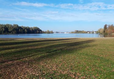
Promenade dans les marais autours de Plaimpieds
Plaatsbepaling
Land:
France
Regio :
Centre-Val de Loire
Departement/Provincie :
Cher
Gemeente :
Plaimpied-Givaudins
Locatie:
Unknown
Vertrek:(Dec)
Vertrek:(UTM)
458530 ; 5205087 (31T) N.
Opmerkingen
Wandeltochten in de omgeving
lac du val d'auron
Lopen
Gemakkelijk
Plaimpied-Givaudins,
Centre-Val de Loire,
Cher,
France
2h 9min
Ja
st just 2021 02 21
Stappen
Medium
Saint-Just,
Centre-Val de Loire,
Cher,
France
8,3 km | 9,2 km-effort
2h 2min
Ja
Bourges trouy lissay lochy 40km
Mountainbike
Gemakkelijk
Plaimpied-Givaudins,
Centre-Val de Loire,
Cher,
France
40 km | 44 km-effort
2h 44min
Ja
Le Colombier
Stappen
Medium
Saint-Just,
Centre-Val de Loire,
Cher,
France
8,1 km | 8,9 km-effort
1h 58min
Ja
le val
Mountainbike
Heel gemakkelijk
Plaimpied-Givaudins,
Centre-Val de Loire,
Cher,
France
9,1 km | 10,2 km-effort
1h 1min
Neen