

Waimes-Montenau-Honsfeld

leeho
Gebruiker

Lengte
39 km

Max. hoogte
633 m

Positief hoogteverschil
524 m

Km-Effort
46 km

Min. hoogte
420 m

Negatief hoogteverschil
520 m
Boucle
Ja
Datum van aanmaak :
2016-08-13 00:00:00.0
Laatste wijziging :
2016-08-13 00:00:00.0
2h39
Moeilijkheid : Gemakkelijk

Gratisgps-wandelapplicatie
Over ons
Tocht Fiets van 39 km beschikbaar op Wallonië, Luik, Waimes. Deze tocht wordt voorgesteld door leeho.
Beschrijving
D'après la carte EuroVelo "Hautes Fagnes-Eiffel". Circuit au départ de l'ancienne gare de Waimes, empruntant le Ravel de la Vennbahn et routes secondaires. Retour par le Ravel de L45.
Plaatsbepaling
Land:
Belgium
Regio :
Wallonië
Departement/Provincie :
Luik
Gemeente :
Waimes
Locatie:
Waimes
Vertrek:(Dec)
Vertrek:(UTM)
295369 ; 5588166 (32U) N.
Opmerkingen
Wandeltochten in de omgeving
2023-11-10_22h16m17_t119964214_sur les versants de la warchenne w10.gpx.xml


Stappen
Medium
(2)
Waimes,
Wallonië,
Luik,
Belgium

6,8 km | 8,6 km-effort
1h 57min
Ja

ligneuville - ondeval aller retour


Stappen
Gemakkelijk
(1)
Malmedy,
Wallonië,
Luik,
Belgium

14,4 km | 18,3 km-effort
4h 2min
Ja
Waimes 21 km


Stappen
Gemakkelijk
(1)
Waimes,
Wallonië,
Luik,
Belgium

21 km | 27 km-effort
6h 15min
Neen
autour d outrewarche


Stappen
Heel gemakkelijk
(1)
Waimes,
Wallonië,
Luik,
Belgium

7,5 km | 9 km-effort
1h 55min
Ja
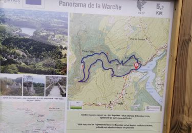
ROBERTVILLE ... par le Château de REINHARDSTEIN.


Stappen
Medium
(4)
Waimes,
Wallonië,
Luik,
Belgium

5,6 km | 7,5 km-effort
1h 16min
Ja
Vallée de l'Amblève


Rolschaatsen
Gemakkelijk
(1)
Malmedy,
Wallonië,
Luik,
Belgium

6,4 km | 8,1 km-effort
1h 20min
Ja
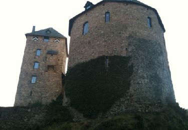
Robertville. Reinhardstein


Stappen
Medium
(1)
Waimes,
Wallonië,
Luik,
Belgium

5,5 km | 7,5 km-effort
Onbekend
Ja
La rivière d'or (9km)


Stappen
Medium
(1)
Amel,
Wallonië,
Luik,
Belgium

9 km | 11,9 km-effort
2h 42min
Ja
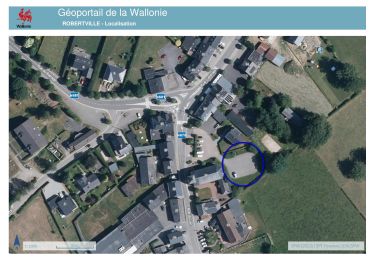
20240429 - Robertville 7.4 Km


Stappen
Medium
Waimes,
Wallonië,
Luik,
Belgium

7,4 km | 8,9 km-effort
2h 16min
Ja


 SityTrail


