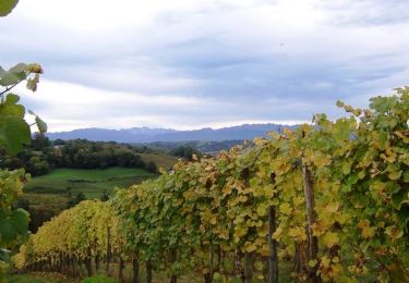
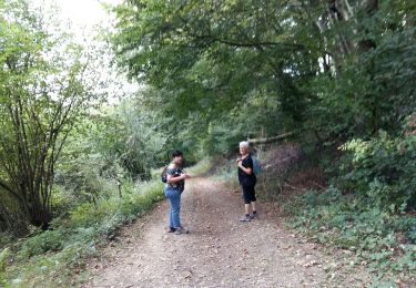
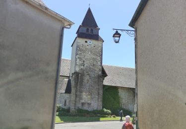
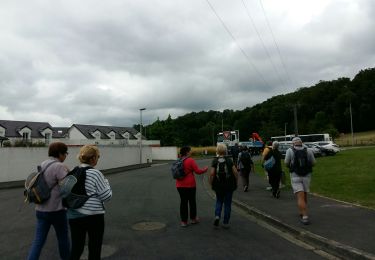
Tocht Mountainbike Artiguelouve - Marie Blanque depuis lescar - Photo
 pourriel64
pourriel64

Gebruiker

© OpenStreetMap contributors
Lengte
Lengte
76 km
Max. hoogte
Max. hoogte
1051 m
Positief hoogteverschil
1928 m
Km-Effort
Km-Effort  
102 km
Min. hoogte
Min. hoogte
155 m
Negatief hoogteverschil
1857 m
Boucle
Boucle
Neen
Datum van aanmaak :
2016-08-10 00:00:00.0
Laatste wijziging :
2016-08-10 00:00:00.0

(0 Bericht)

Mountainbike
Mountainbike
--
Moeilijkheid : Medium

Scan deze QR-code om de tocht te openen in de SityTrail-applicatie

Gratisgps-wandelapplicatie

Logo SityTrail SityTrail

IGN / Geografische instituten

SityTrail uit de App Store downloaden SityTrail uit Google Play downloaden

Logo SityTrail SityTrail World

De wereld gaat voor u open

SityTrail uit de App Store downloaden SityTrail uit Google Play downloaden SityTrail op Huawei AppGallery downloaden

Over ons

Tocht Mountainbike van 76 km beschikbaar op Nieuw-Aquitanië, Pyrénées-Atlantiques, Artiguelouve. Deze tocht wordt voorgesteld door pourriel64.

Hoogteprofiel

Plaatsbepaling

Land:
France
Regio :
Nieuw-Aquitanië
Departement/Provincie :
Pyrénées-Atlantiques
Gemeente :
Artiguelouve
Locatie:
Unknown
Vertrek:(Dec)
Vertrek:(UTM)
706163 ; 4799005 (30T) N.

Wandeltochten in de omgeving

Tocht Te voet Lescar - Lescar du 2018-06-24 - Photo
Te voet
GUIDE
marmotte65

Te voet

Heel gemakkelijk
(1)
Lescar, Nieuw-Aquitanië, Pyrénées-Atlantiques, France
7,6 km | 8,6 km-effort
Onbekend
Ja
Tocht Stappen Laroin - Les vignes en terrasses des collines de Jurançon - Photo
Stappen
tracegps

Stappen

Moeilijk
(3)
Laroin, Nieuw-Aquitanië, Pyrénées-Atlantiques, France
19,6 km | 27 km-effort
5h 0min
Ja
Tocht Stappen Siros - SIROS Le sentier du gave M2   3143980 - Photo
Stappen
GUIDE
marmotte65

Stappen

Medium
Siros, Nieuw-Aquitanië, Pyrénées-Atlantiques, France
7,9 km | 8,5 km-effort
1h 54min
Ja
Tocht Stappen Arbus - ARBUS boucle du bois de bas M2 reco - Photo
Stappen
GUIDE
marmotte65

Stappen

Medium
Arbus, Nieuw-Aquitanië, Pyrénées-Atlantiques, France
7,9 km | 11,2 km-effort
2h 42min
Ja
Tocht Stappen Aubertin - AUBERTIN (PPT) de la hélère à la baïse  fait (G3)  2641287 - Photo
Stappen
GUIDE
marmotte65

Stappen

Gemakkelijk
Aubertin, Nieuw-Aquitanië, Pyrénées-Atlantiques, France
12 km | 17,1 km-effort
3h 13min
Ja
Tocht Stappen Arbus - ARBUS Le cap d Arrandes N° 47 balisage et signaletique verticale fait le 15/09/2020 - Photo
Stappen
GUIDE
marmotte65

Stappen

Gemakkelijk
Arbus, Nieuw-Aquitanië, Pyrénées-Atlantiques, France
4 km | 5,9 km-effort
2h 33min
Ja
Tocht Mountainbike Aussevielle - siros labastide aussevielle - Photo
Mountainbike
moostic

Mountainbike

Gemakkelijk
(1)
Aussevielle, Nieuw-Aquitanië, Pyrénées-Atlantiques, France
15,6 km | 16,5 km-effort
1h 5min
Ja
Tocht Stappen Artiguelouve - ARTIGUELOUVE LA COMMANDE GR653 G4 - Photo
Stappen
GUIDE
marmotte65

Stappen

Medium
Artiguelouve, Nieuw-Aquitanië, Pyrénées-Atlantiques, France
8,4 km | 11 km-effort
2h 29min
Neen
Tocht Stappen Lons - LONS RS Les vignes  3273591 - Photo
Stappen
GUIDE
marmotte65

Stappen

Gemakkelijk
Lons, Nieuw-Aquitanië, Pyrénées-Atlantiques, France
4 km | 4,8 km-effort
1h 10min
Ja


Sluiten
Mijn abonnementen