


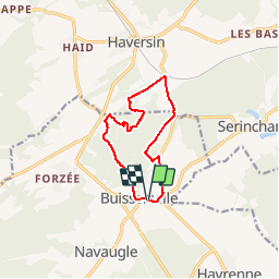

18,9 km | 24 km-effort


Gebruiker


Gratisgps-wandelapplicatie
 SityTrail
IGN / Geografische instituten
SityTrail World
De wereld gaat voor u open
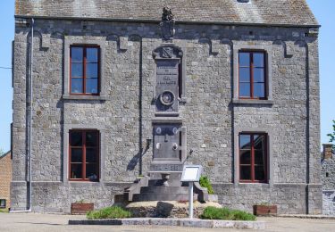
Tocht Stappen van 9,5 km beschikbaar op Wallonië, Namen, Rochefort. Deze tocht wordt voorgesteld door r.genette.
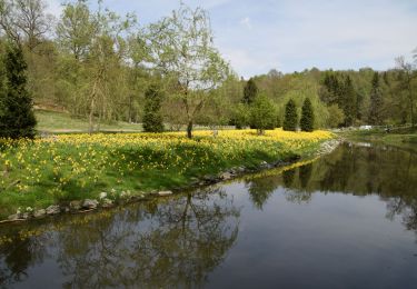
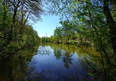
Un bon dénivelé pour commencer. une partie privée joliment boisée (région wallonne )une nouvelle grimpette et on redescend vers le village.
Stappen

Stappen
Stappen
Stappen

Paardrijden

Te voet
Te voet
Te voet

Te voet