Tocht Stappen Le Bonhomme - Le bonhomme, col du Calvaire,étang du Devin - Photo

Le bonhomme, col du Calvaire,étang du Devin

 oscar1
oscar1

Gebruiker

© OpenStreetMap contributors
Lengte
Lengte
16,5 km
Max. hoogte
Max. hoogte
1215 m
Positief hoogteverschil
729 m
Km-Effort
Km-Effort  
26 km
Min. hoogte
Min. hoogte
685 m
Negatief hoogteverschil
728 m
Boucle
Boucle
Ja
Datum van aanmaak :
2016-07-28 00:00:00.0
Laatste wijziging :
2016-07-28 00:00:00.0

(0 Bericht)

Stappen
Stappen
6h25
Moeilijkheid : Medium

Scan deze QR-code om de tocht te openen in de SityTrail-applicatie

Gratisgps-wandelapplicatie

Logo SityTrail SityTrail

IGN / Geografische instituten

SityTrail uit de App Store downloaden SityTrail uit Google Play downloaden

Logo SityTrail SityTrail World

De wereld gaat voor u open

SityTrail uit de App Store downloaden SityTrail uit Google Play downloaden SityTrail op Huawei AppGallery downloaden

Over ons

Tocht Stappen van 16,5 km beschikbaar op Grand Est, Haut-Rhin, Le Bonhomme. Deze tocht wordt voorgesteld door oscar1.

Beschrijving

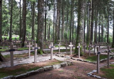
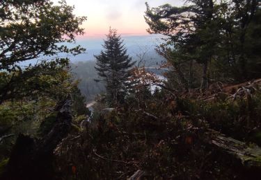
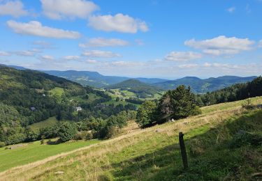
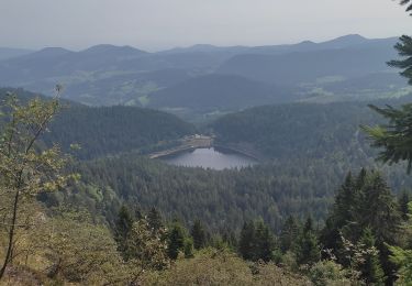
La randonnée offre une plongée dans la guerre 14/18.Les vestiges du front y sont nombreux. Montée assez longue du Bonhomme jusqu'au cimetière Nationale Duchesne.Rectangle jaune.Direction col du Calvaire par rectangle rouge et retour au cimetière par anneau jaune.Puis rectangle rouge, Tête des Faux, La Roche du Corbeau, étang du Devin puis prendre à droite le premier chemin vers la Chapelle et l'ancien cimetière militaire allemand puis retour jusqu'à l'étang et revenir sur le Bonhomme par rectangle rouge.

Hoogteprofiel

Plaatsbepaling

Land:
France
Regio :
Grand Est
Departement/Provincie :
Haut-Rhin
Gemeente :
Le Bonhomme
Locatie:
Unknown
Vertrek:(Dec)
Vertrek:(UTM)
359742 ; 5337180 (32U) N.

Wandeltochten in de omgeving

Tocht Stappen Le Bonhomme - Tête des faux . - Photo
Stappen
heurtinpatrick

Stappen

Medium
(1)
Le Bonhomme, Grand Est, Haut-Rhin, France
11,9 km | 16,6 km-effort
3h 46min
Ja
Tocht Stappen Lapoutroie - 2012-06-16 Marche aux Alisiers Orbey - Photo
Stappen
GUIDE
holtzv

Stappen

Gemakkelijk
(2)
Lapoutroie, Grand Est, Haut-Rhin, France
11,1 km | 16,6 km-effort
2h 49min
Ja
Tocht Mountainbike Orbey - Lac Blanc  - Têtes des Faux - Photo
Mountainbike
tracegps

Mountainbike

Medium
(1)
Orbey, Grand Est, Haut-Rhin, France
15,3 km | 21 km-effort
1h 0min
Ja
Tocht Stappen Le Bonhomme - Le Bonhomme - Circuit du village - Photo
Stappen
GUIDE
Desrumaux

Stappen

Gemakkelijk
(1)
Le Bonhomme, Grand Est, Haut-Rhin, France
3 km | 5,3 km-effort
1h 30min
Ja
Tocht Stappen Sainte-Marie-aux-Mines - 2021-02-14 Marche Bagenelles Brezouard Fuste de Etoile - Photo
Stappen
GUIDE
holtzv

Stappen

Zeer moeilijk
Sainte-Marie-aux-Mines, Grand Est, Haut-Rhin, France
17,1 km | 27 km-effort
6h 6min
Ja
Tocht Stappen Lapoutroie - 2020-07-19 Marche Étang du Devin Col Calvaire Tête des Faux - Photo
Stappen
GUIDE
holtzv

Stappen

Heel gemakkelijk
Lapoutroie, Grand Est, Haut-Rhin, France
14,2 km | 22 km-effort
3h 27min
Ja
Tocht Stappen Orbey - Vallée des 5 lacs  - Photo
Stappen
dragonchef

Stappen

Moeilijk
Orbey, Grand Est, Haut-Rhin, France
28 km | 48 km-effort
7h 21min
Ja
Tocht Mountainbike Orbey - Welche E Bike Tour 2024 - Photo
Mountainbike
duchaine.nicolas

Mountainbike

Medium
Orbey, Grand Est, Haut-Rhin, France
35 km | 51 km-effort
2h 17min
Ja
Tocht Stappen Orbey - Col du Calvaire ➡️ Lac Blanc  - Photo
Stappen
nana1643

Stappen

Medium
Orbey, Grand Est, Haut-Rhin, France
8,6 km | 12,8 km-effort
3h 9min
Ja


Sluiten
Mijn abonnementen