


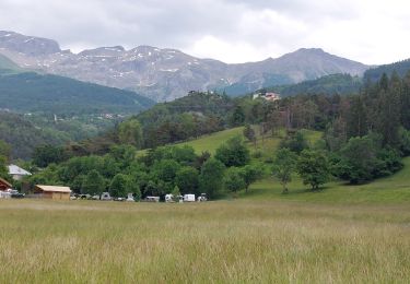
7,8 km | 13,4 km-effort


Gebruiker


Gratisgps-wandelapplicatie
 SityTrail
IGN / Geografische instituten
SityTrail World
De wereld gaat voor u open
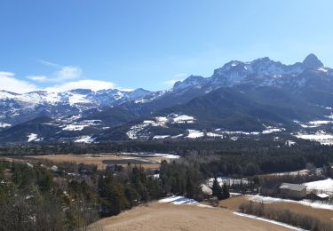
Tocht Fiets van 90 km beschikbaar op Provence-Alpes-Côte d'Azur, Alpes-de-Haute-Provence, Enchastrayes. Deze tocht wordt voorgesteld door bqu34.
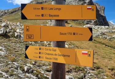
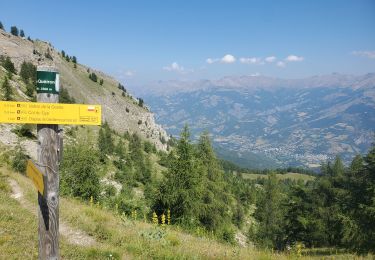
Col de Restefond
Faux col de Restefond
Col dela Moutière
Col de la Bonette
Col des Granges communes
Col des Fourches
Stappen
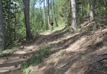
Mountainbike
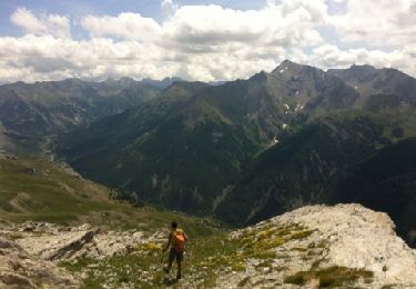
Stappen

Stappen
Elektrische fiets
Stappen
Stappen
Stappen
Stappen