Tocht Stappen Sainte-Croix - Col des Etroits - L'Auberson 28.06.16 - Photo

Col des Etroits - L'Auberson 28.06.16

 duamerg
duamerg

Gebruiker

© OpenStreetMap contributors
Lengte
Lengte
13,8 km
Max. hoogte
Max. hoogte
1193 m
Positief hoogteverschil
380 m
Km-Effort
Km-Effort  
18,8 km
Min. hoogte
Min. hoogte
1027 m
Negatief hoogteverschil
370 m
Boucle
Boucle
Ja
Datum van aanmaak :
2016-06-29 00:00:00.0
Laatste wijziging :
2020-01-30 13:56:44.835

(0 Bericht)

Stappen
Stappen
4h12
Moeilijkheid : Gemakkelijk

Scan deze QR-code om de tocht te openen in de SityTrail-applicatie

Gratisgps-wandelapplicatie

Logo SityTrail SityTrail

IGN / Geografische instituten

SityTrail uit de App Store downloaden SityTrail uit Google Play downloaden

Logo SityTrail SityTrail World

De wereld gaat voor u open

SityTrail uit de App Store downloaden SityTrail uit Google Play downloaden SityTrail op Huawei AppGallery downloaden

Over ons

Tocht Stappen van 13,8 km beschikbaar op Waadland, District du Jura-Nord vaudois, Sainte-Croix. Deze tocht wordt voorgesteld door duamerg.

Beschrijving

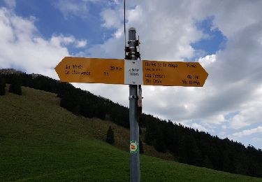
Laisser la voiture au col des Etroits. Suivre les panneaux indicateurs qui vous méneront à La Vraconnaz - les Rochettes - La tourbière - Granges Jaccard -L'Auberson.
Jolie ballade sans difficultés faisant connaître cette belle partie du jura.

Hoogteprofiel

Foto's

POI's

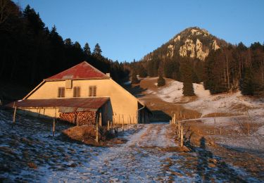
POI Sainte-Croix - le plateau de la Vraconnaz - Photo
duamerg
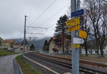
POI Sainte-Croix - panneau explicatif  - Photo
duamerg
SAINTE-CROIX 
POI Sainte-Croix - La Tourbière - Photo
duamerg
SAINTE-CROIX 
POI Sainte-Croix - vue sur L'auberson - Photo
duamerg
SAINTE-CROIX 
POI Sainte-Croix - chemin à travers les prés - Photo
duamerg
POI Sainte-Croix - Belle vue sur Ste Croix - Photo
duamerg

Plaatsbepaling

Land:
Switzerland
Regio :
Waadland
Departement/Provincie :
District du Jura-Nord vaudois
Gemeente :
Sainte-Croix
Locatie:
Unknown
Vertrek:(Dec)
Vertrek:(UTM)
308891 ; 5189409 (32T) N.

Opmerkingen

Gelieve in te loggen om een commentaar of een beoordeling achter te laten


Je vous donnerai après l avoir essayé


Wandeltochten in de omgeving

Tocht Te voet La Côte-aux-Fées - La Côte-aux-Fées - Buttes - Photo
Te voet
GUIDE+

Te voet

Gemakkelijk
La Côte-aux-Fées, Neuchâtel, Onbekend, Switzerland
6,7 km | 8,5 km-effort
1h 55min
Neen
Tocht Te voet Sainte-Croix - La Gittaz-Col de l'Aigullon - Photo
Te voet
GUIDE+

Te voet

Gemakkelijk
Sainte-Croix, Waadland, District du Jura-Nord vaudois, Switzerland
4,1 km | 6,4 km-effort
1h 26min
Neen
Tocht Te voet Sainte-Croix - Sainte Croix-La Gittaz - Photo
Te voet
GUIDE+

Te voet

Gemakkelijk
Sainte-Croix, Waadland, District du Jura-Nord vaudois, Switzerland
5,7 km | 8,3 km-effort
1h 53min
Neen
Tocht Te voet Sainte-Croix - Chemin de la Gare - Photo
Te voet
GUIDE+

Te voet

Gemakkelijk
Sainte-Croix, Waadland, District du Jura-Nord vaudois, Switzerland
6,5 km | 8,6 km-effort
1h 57min
Neen
Tocht Te voet Les Fourgs - Le Sentier des Bornes - Photo
Te voet
GUIDE+

Te voet

Gemakkelijk
Les Fourgs, Bourgondië-Franche-Comté, Doubs, France
6,4 km | 8 km-effort
1h 48min
Neen
Tocht Stappen Sainte-Croix - le Chasseron par les avattes - Photo
Stappen
viam19

Stappen

Medium
Sainte-Croix, Waadland, District du Jura-Nord vaudois, Switzerland
13,3 km | 20 km-effort
4h 18min
Ja
Tocht Sneeuwschoenen Sainte-Croix - Col des Etroits Le Chasseron CAF - Photo
Sneeuwschoenen
TRIMAILLE

Sneeuwschoenen

Moeilijk
Sainte-Croix, Waadland, District du Jura-Nord vaudois, Switzerland
12,2 km | 19,9 km-effort
Onbekend
Ja
Tocht Stappen Sainte-Croix - Sentier des bornes sud  - Photo
Stappen
mallovon

Stappen

Heel gemakkelijk
Sainte-Croix, Waadland, District du Jura-Nord vaudois, Switzerland
6,7 km | 8,7 km-effort
2h 46min
Ja
Tocht Andere activiteiten Sainte-Croix - Les Montagnes de Baulnes  - Photo
Andere activiteiten
Mecki

Andere activiteiten

Heel gemakkelijk
Sainte-Croix, Waadland, District du Jura-Nord vaudois, Switzerland
5,5 km | 9,2 km-effort
1h 44min
Neen


Sluiten
Mijn abonnementen