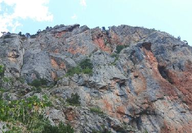
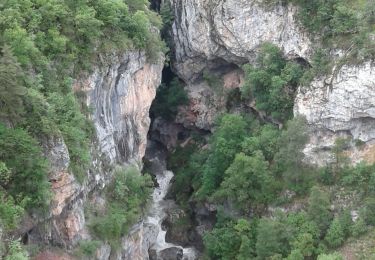
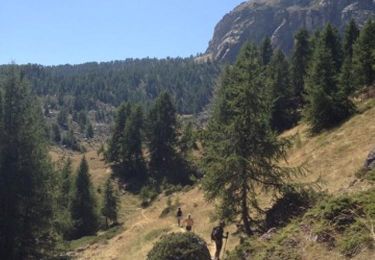
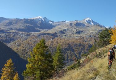
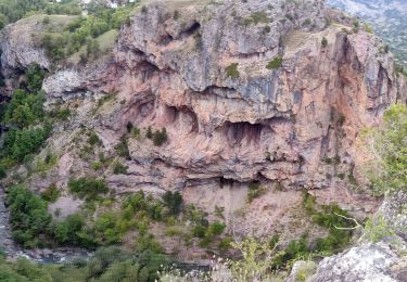
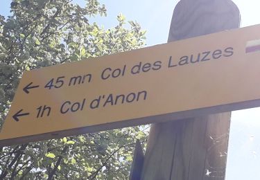
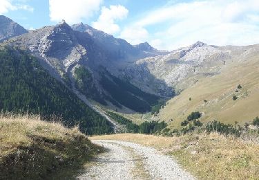
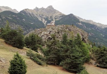
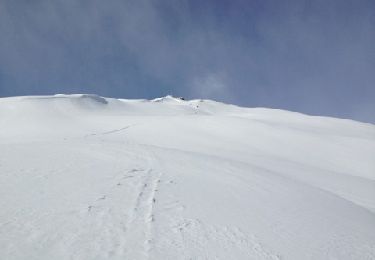
Tocht Stappen Freissinières - Freissiniers Dormillouse - Photo
 markford
markford

Gebruiker

© OpenStreetMap contributors
Lengte
Lengte
18,1 km
Max. hoogte
Max. hoogte
1744 m
Positief hoogteverschil
671 m
Km-Effort
Km-Effort  
27 km
Min. hoogte
Min. hoogte
1180 m
Negatief hoogteverschil
671 m
Boucle
Boucle
Ja
Datum van aanmaak :
2016-06-23 00:00:00.0
Laatste wijziging :
2016-06-23 00:00:00.0

(0 Bericht)

Stappen
Stappen
5h46
Moeilijkheid : Medium

Scan deze QR-code om de tocht te openen in de SityTrail-applicatie

Gratisgps-wandelapplicatie

Logo SityTrail SityTrail

IGN / Geografische instituten

SityTrail uit de App Store downloaden SityTrail uit Google Play downloaden

Logo SityTrail SityTrail World

De wereld gaat voor u open

SityTrail uit de App Store downloaden SityTrail uit Google Play downloaden SityTrail op Huawei AppGallery downloaden

Over ons

Tocht Stappen van 18,1 km beschikbaar op Provence-Alpes-Côte d'Azur, Hautes-Alpes, Freissinières. Deze tocht wordt voorgesteld door markford.

Beschrijving

Cet itinéraire peut être fait à pied en été et en raquettes-ing en hiver.
veiws fantastiques de chutes d'eau au printemps, cascades de glace en hiver. Peut être commencé et terminé à tout parking. mais en hiver, le route peut être fermé juste après les violons.
This route can be done Walking in the summer and snowshoe-ing in the winter.
Fantastic veiws of  waterfalls  in the spring , icefalls in the winter. Can be started and finished at  any carpark. though in winter the road can be closed just after the violins.

Hoogteprofiel

POI's

POI Freissinières - cascade  - Photo
markford
FREISSINIÈRES 

Plaatsbepaling

Land:
France
Regio :
Provence-Alpes-Côte d'Azur
Departement/Provincie :
Hautes-Alpes
Gemeente :
Freissinières
Locatie:
Unknown
Vertrek:(Dec)
Vertrek:(UTM)
304796 ; 4958459 (32T) N.

Wandeltochten in de omgeving

Tocht Stappen Freissinières - crête en bordure vallée Freissinieres - Photo
Stappen
gildascb

Stappen

Medium
(2)
Freissinières, Provence-Alpes-Côte d'Azur, Hautes-Alpes, France
14,7 km | 26 km-effort
4h 52min
Ja
Tocht Stappen Champcella - Gouffre de Gourfouran - Photo
Stappen
CYCLOHC

Stappen

Gemakkelijk
(2)
Champcella, Provence-Alpes-Côte d'Azur, Hautes-Alpes, France
5,1 km | 8,1 km-effort
2h 2min
Ja
Tocht Stappen Champcella - FRESSINIERES - SEYES 16.3KM - Photo
Stappen
jpb83

Stappen

Medium
(1)
Champcella, Provence-Alpes-Côte d'Azur, Hautes-Alpes, France
16,3 km | 28 km-effort
5h 44min
Ja
Tocht Stappen Freissinières - les Violins  Dormillouse  - Photo
Stappen
GUIDE
orsel

Stappen

Gemakkelijk
Freissinières, Provence-Alpes-Côte d'Azur, Hautes-Alpes, France
14,8 km | 28 km-effort
9h 14min
Ja
Tocht Stappen Champcella - 2020-09-10 Balade Gouffre du Gourfouran - Photo
Stappen
GUIDE
holtzv

Stappen

Heel gemakkelijk
Champcella, Provence-Alpes-Côte d'Azur, Hautes-Alpes, France
4,8 km | 7,8 km-effort
1h 14min
Ja
Tocht Stappen Freissinières - Fressiniere  les Roberts  Lac de la Lauze - Photo
Stappen
Sorriaux

Stappen

Medium
(1)
Freissinières, Provence-Alpes-Côte d'Azur, Hautes-Alpes, France
13,9 km | 22 km-effort
4h 12min
Ja
Tocht Stappen Freissinières - col de val-haute - Photo
Stappen
gildascb

Stappen

Gemakkelijk
Freissinières, Provence-Alpes-Côte d'Azur, Hautes-Alpes, France
7,1 km | 13,5 km-effort
2h 52min
Ja
Tocht Stappen L'Argentière-la-Bessée - CR_Domitia_CJ_21_Argentiere_St-Martin-Queyrieres_20170915 - Photo
Stappen
patrickdanilo

Stappen

Zeer moeilijk
L'Argentière-la-Bessée, Provence-Alpes-Côte d'Azur, Hautes-Alpes, France
16,6 km | 27 km-effort
5h 57min
Neen
Tocht Andere activiteiten Freissinières - tête des raisins - Freissiniéres - Pays des Écrins.gpx - Photo
Andere activiteiten
rafaure

Andere activiteiten

Gemakkelijk
Freissinières, Provence-Alpes-Côte d'Azur, Hautes-Alpes, France
6,4 km | 19 km-effort
1h 57min
Ja


Sluiten
Mijn abonnementen