


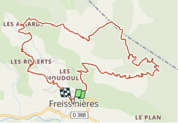


14,7 km | 26 km-effort


Gebruiker


Gratisgps-wandelapplicatie
 SityTrail
IGN / Geografische instituten
SityTrail World
De wereld gaat voor u open
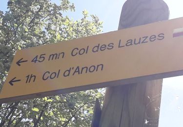
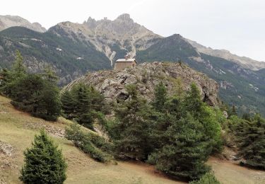
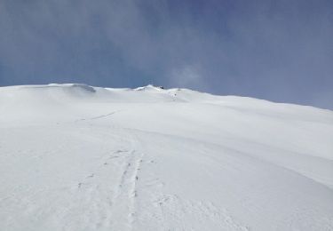
Tocht Stappen van 9,6 km beschikbaar op Provence-Alpes-Côte d'Azur, Hautes-Alpes, Freissinières. Deze tocht wordt voorgesteld door markford.
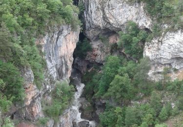
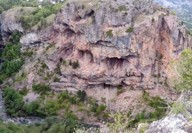
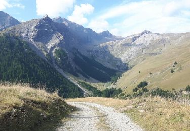
Vue panoramique sur le val du Durance. Decent un peu technique sur le sentier du falaise.
panoramic view of the durance valley. the decent of the on the cliff path a little technical.

Stappen
Stappen

Stappen
Stappen
Stappen
Stappen
Stappen
Stappen
Andere activiteiten