


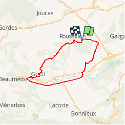

11,5 km | 15,4 km-effort

Randonnées de Vélo Loisir Provence GUIDE+


Gratisgps-wandelapplicatie
 SityTrail
IGN / Geografische instituten
SityTrail World
De wereld gaat voor u open
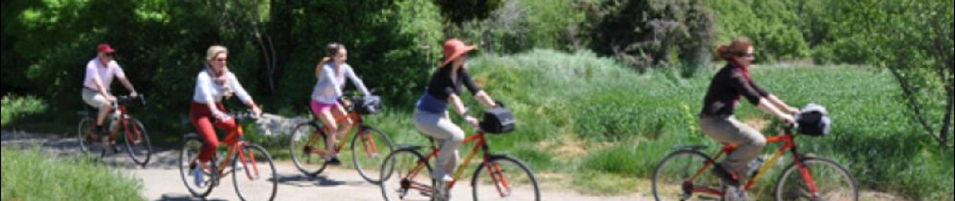
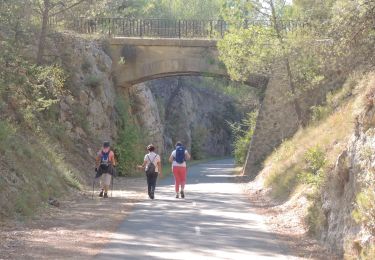
Tocht Fiets van 24 km beschikbaar op Provence-Alpes-Côte d'Azur, Vaucluse, Roussillon. Deze tocht wordt voorgesteld door Vélo Loisir Provence.
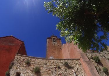
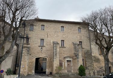
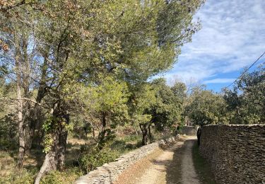
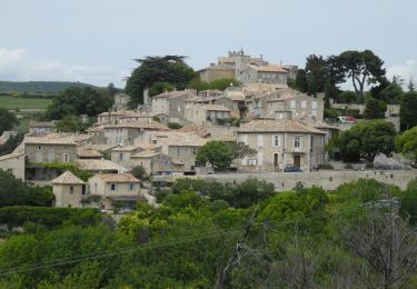
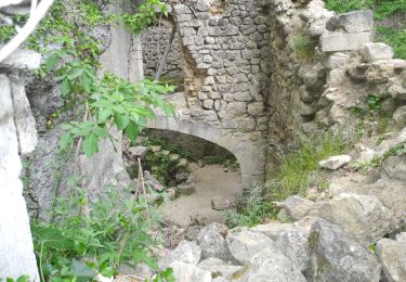
Ochre by bike: 1 route to explore from Roussillon ! The visit to the ancient ochre mills is a fantastic insight into the skills of color creation, with guided visits, work-shop courses, a bookshop and a boutique. From Okhra, take part and explore 1 totally original itinerary, accessible to the whole family (from 12 years old, itinerary of 20 km -12.5 miles each). Experience both the industrial and the human imprints which have made their impact over the centuries. Direction of the itinerary : Roussillon (Okhra) <-> Bonnieux (Pont Julien) <-> Lumières <-> Goult <-> Roussillon (Okhra)

Mountainbike
Stappen
Stappen
Stappen
Stappen
Stappen
Stappen
Stappen
Stappen