


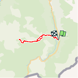

10,6 km | 19,3 km-effort


Gebruiker


Gratisgps-wandelapplicatie
 SityTrail
IGN / Geografische instituten
SityTrail World
De wereld gaat voor u open
Tocht Stappen van 11,4 km beschikbaar op Nieuw-Aquitanië, Pyrénées-Atlantiques, Laruns. Deze tocht wordt voorgesteld door DuMarsan.
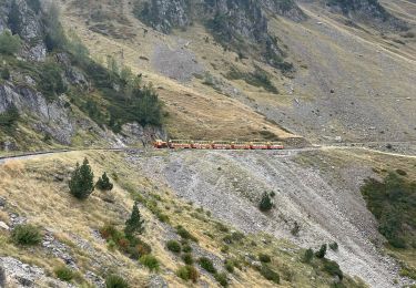
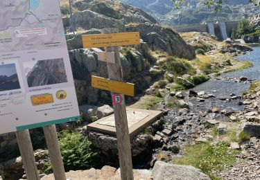
12/06/2016 Geo, André et Suzanne. Ossau dans la brume...
Un dimanche cool, les izards gambadent dans les prairies fleuries...


Stappen
Stappen

Stappen

Stappen

Te voet

Stappen

Stappen

Stappen
Stappen