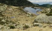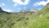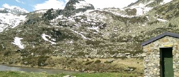

Lac de Lagües

DuMarsan
Gebruiker

Lengte
9,1 km

Max. hoogte
2169 m

Positief hoogteverschil
737 m

Km-Effort
18,9 km

Min. hoogte
1418 m

Negatief hoogteverschil
728 m
Boucle
Ja
Datum van aanmaak :
2016-06-13 00:00:00.0
Laatste wijziging :
2016-06-13 00:00:00.0
5h14
Moeilijkheid : Medium

Gratisgps-wandelapplicatie
Over ons
Tocht Stappen van 9,1 km beschikbaar op Occitanië, Hautes-Pyrénées, Sazos. Deze tocht wordt voorgesteld door DuMarsan.
Beschrijving
Juin juste avec André, mais pas très haut car encore de la neige dans la montée vers les lacs d'Ardiden.Fleurs et marmottes au rendez-vous.
Plaatsbepaling
Land:
France
Regio :
Occitanië
Departement/Provincie :
Hautes-Pyrénées
Gemeente :
Sazos
Locatie:
Unknown
Vertrek:(Dec)
Vertrek:(UTM)
741255 ; 4751514 (30T) N.
Opmerkingen
Wandeltochten in de omgeving
Lac d'Estom


Stappen
Medium
(1)
Cauterets,
Occitanië,
Hautes-Pyrénées,
France

11,4 km | 17,5 km-effort
3h 30min
Ja
PIC DE VISCOS


Stappen
Medium
(1)
Grust,
Occitanië,
Hautes-Pyrénées,
France

10,5 km | 18,4 km-effort
4h 7min
Ja

SityTrail - ESTERRE Viella / Luz / Esquieze / Esterre en boucle bis


Te voet
Heel gemakkelijk
(1)
Esterre,
Occitanië,
Hautes-Pyrénées,
France

9,4 km | 15,5 km-effort
Onbekend
Ja

promenade Russell


Stappen
Heel gemakkelijk
(1)
Cauterets,
Occitanië,
Hautes-Pyrénées,
France

11,9 km | 21 km-effort
5h 46min
Ja
Pic Bergons 2068m


Stappen
Medium
(1)
Luz-Saint-Sauveur,
Occitanië,
Hautes-Pyrénées,
France

5,9 km | 14 km-effort
6h 0min
Ja
Lac de Bastampe 2019m


Stappen
Moeilijk
(1)
Sazos,
Occitanië,
Hautes-Pyrénées,
France

13 km | 27 km-effort
5h 0min
Ja

ESTERRE Villenave st Sauveur Luz Esterre G4 "3613212"


Te voet
Gemakkelijk
Esterre,
Occitanië,
Hautes-Pyrénées,
France

9,4 km | 14,2 km-effort
3h 13min
Ja

LUZ SAINT SAUVEUR Les chemins de l agnouede bis


Te voet
Gemakkelijk
Luz-Saint-Sauveur,
Occitanië,
Hautes-Pyrénées,
France

11,8 km | 18,5 km-effort
4h 12min
Ja
Luz Saint Sauveur


Stappen
Gemakkelijk
Luz-Saint-Sauveur,
Occitanië,
Hautes-Pyrénées,
France

7,5 km | 10,3 km-effort
1h 48min
Neen


 SityTrail


