


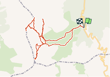

11,7 km | 19,7 km-effort

Gebruiker GUIDE


Gratisgps-wandelapplicatie
 SityTrail
IGN / Geografische instituten
SityTrail World
De wereld gaat voor u open
Tocht Andere activiteiten van 14,3 km beschikbaar op Provence-Alpes-Côte d'Azur, Hautes-Alpes, Cervières. Deze tocht wordt voorgesteld door nadd73.
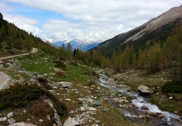
Départ route du col d'Izoard. Le Laus vers 2144m se garer au virage direction les chalets d'Izoard.
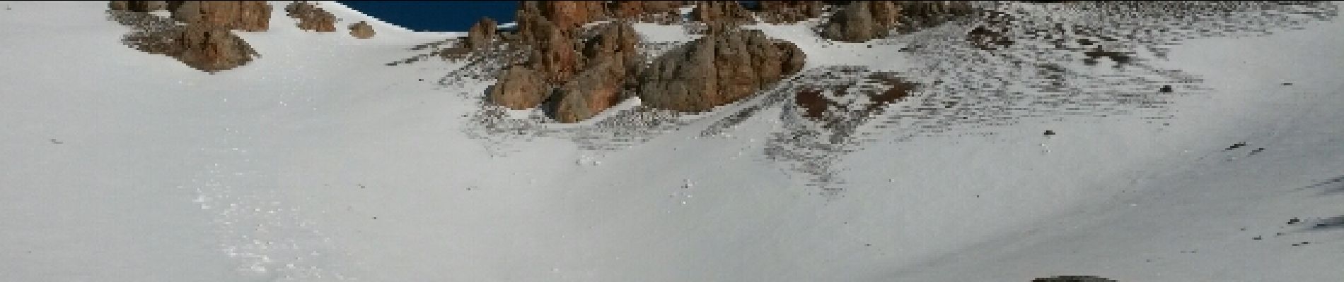
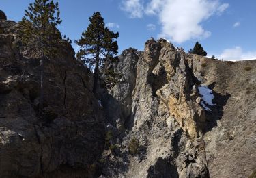
Nous avons voulu monter au Pic Beaudouis mais corniche trop dangereuse.
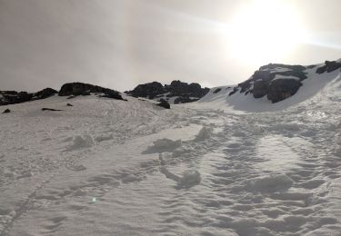
Très beau tricotage en fin de saison


Stappen
Via ferrata
Ski randonnée
Stappen
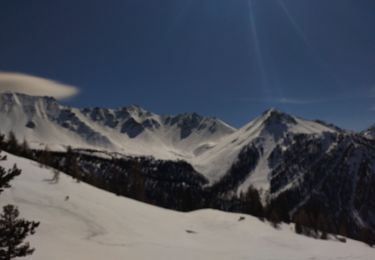
Ski randonnée

Ski randonnée
Stappen

Andere activiteiten
Stappen