


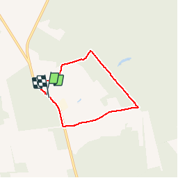


9,5 km | 12,1 km-effort

Gebruiker GUIDE


Gratisgps-wandelapplicatie
 SityTrail
IGN / Geografische instituten
SityTrail World
De wereld gaat voor u open
Tocht Stappen van 4,8 km beschikbaar op Wallonië, Henegouwen, Chimay. Deze tocht wordt voorgesteld door pascalou73.
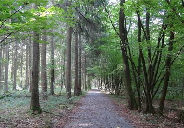
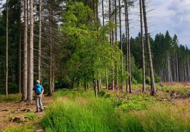
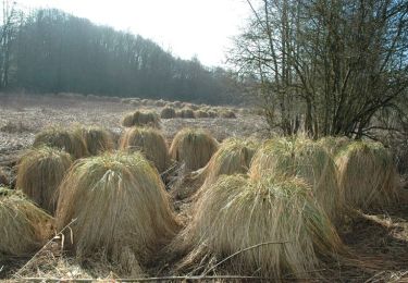
Une belle rando dans le pays de Chimay. une région qui vas vous séduire avec la qualité des produits du terroir.bonne rando.


Stappen
Stappen
Stappen
Stappen
Stappen
Stappen
Stappen

Stappen
Stappen