


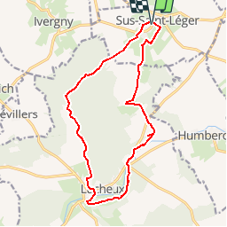

11,8 km | 12,9 km-effort


Gebruiker


Gratisgps-wandelapplicatie
 SityTrail
IGN / Geografische instituten
SityTrail World
De wereld gaat voor u open
Tocht Stappen van 14,8 km beschikbaar op Hauts-de-France, Pas-de-Calais, Sus-Saint-Léger. Deze tocht wordt voorgesteld door camino59.
Randonnée au sein de la forêt de Lucheux et le GR 124
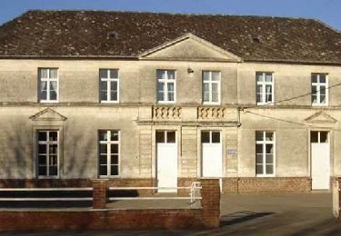
Stappen
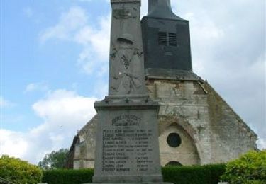
Stappen
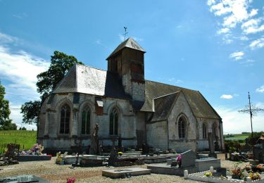
Stappen
Stappen
Stappen
Stappen

Stappen
Stappen
Stappen