6,5 km | 9,9 km-effort
Cretes de Ceret_Fontfrede
force
Gebruiker
Lengte
8,3 km
Max. hoogte
1324 m
Positief hoogteverschil
437 m
Km-Effort
14,1 km
Min. hoogte
964 m
Negatief hoogteverschil
437 m
Boucle
Ja
Datum van aanmaak :
2016-05-25 00:00:00.0
Laatste wijziging :
2016-05-25 00:00:00.0
3h14
Moeilijkheid : Medium
Gratisgps-wandelapplicatie
Over ons
Tocht Stappen van 8,3 km beschikbaar op Occitanië, Pyrénées-Orientales, Céret. Deze tocht wordt voorgesteld door force.
Beschrijving
site conseil general 66.
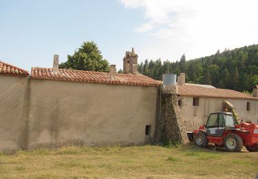
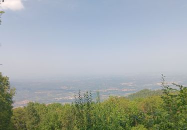
Belle randonnée en grande partie en sous bois
Plaatsbepaling
Land:
France
Regio :
Occitanië
Departement/Provincie :
Pyrénées-Orientales
Gemeente :
Céret
Locatie:
Unknown
Vertrek:(Dec)
Vertrek:(UTM)
480070 ; 4699560 (31T) N.
Opmerkingen
Wandeltochten in de omgeving
CERET 66 - les hauts de CERET - ballade en bas Vallespir - dolmen de la Siure...
Stappen
Medium
(1)
Maureillas-las-Illas,
Occitanië,
Pyrénées-Orientales,
France
1h 24min
Ja
La Vajol al Santuari i al Puig de les Salines
Te voet
Gemakkelijk
la Vajol,
Catalonië,
Gerona,
Spain
6,6 km | 14,2 km-effort
3h 13min
Neen
blacon de ceret via la cascade
Stappen
Medium
(3)
Céret,
Occitanië,
Pyrénées-Orientales,
France
10,1 km | 14,4 km-effort
3h 9min
Ja
Las Illas / La Vajol / col de Manrella
Stappen
Moeilijk
Maureillas-las-Illas,
Occitanië,
Pyrénées-Orientales,
France
13,1 km | 18,9 km-effort
3h 45min
Ja
pic des salines . pou del neu . retour via GR10 . solo
Stappen
Moeilijk
Céret,
Occitanië,
Pyrénées-Orientales,
France
8,4 km | 14,4 km-effort
3h 34min
Ja
Maureillas
Stappen
Moeilijk
Maureillas-las-Illas,
Occitanië,
Pyrénées-Orientales,
France
12,8 km | 16,9 km-effort
4h 34min
Neen
Reynes mine de talc+ cascade
Andere activiteiten
Moeilijk
(1)
Reynès,
Occitanië,
Pyrénées-Orientales,
France
8,5 km | 14,4 km-effort
2h 50min
Ja
le ventous ceret
Stappen
Medium
Céret,
Occitanië,
Pyrénées-Orientales,
France
6 km | 8,9 km-effort
1h 41min
Neen
2022 TRANSPYRÉNÉENNE : Refuge de La ILLIAS - Col du Perthus - com de l’Ouilla...
Stappen
Medium
Maureillas-las-Illas,
Occitanië,
Pyrénées-Orientales,
France
24 km | 36 km-effort
5h 18min
Neen
belle randonnée