


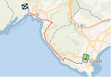

21 km | 26 km-effort

Gebruiker


Gratisgps-wandelapplicatie
 SityTrail
IGN / Geografische instituten
SityTrail World
De wereld gaat voor u open
Tocht Stappen van 10,1 km beschikbaar op Provence-Alpes-Côte d'Azur, Bouches-du-Rhône, La Ciotat. Deze tocht wordt voorgesteld door Lisa84.
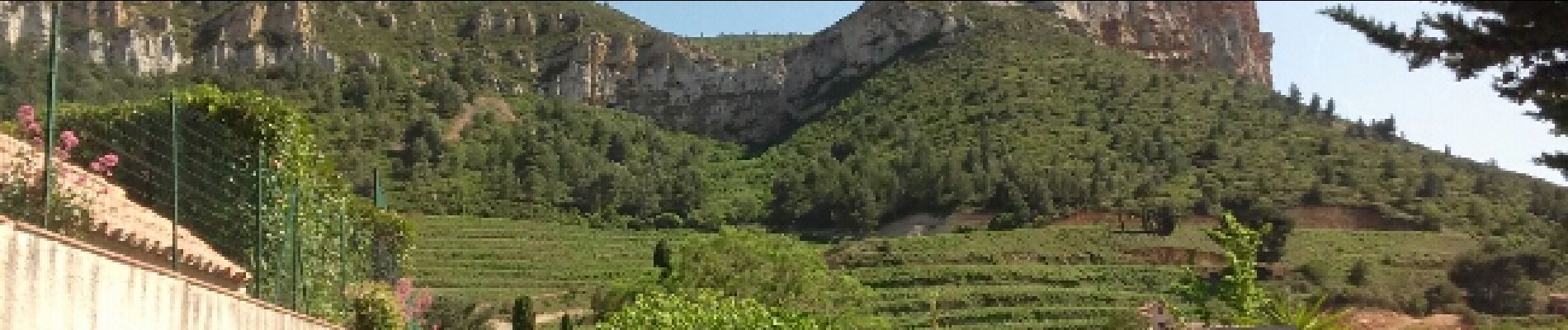
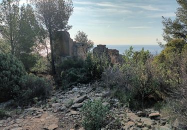
Randonnées entre La Ciotat et Cassis. Magnifiques vues sur les calanques, la chapelle Notre Dame de la Garde, le sémaphore du Bec de l'aigle, traversée des falaises soubeyranes, le Pas de la Colle pour une arrivée à Cassis.


Wegfiets

Stappen

Stappen

Stappen

Stappen
Stappen

Stappen

Stappen
Stappen