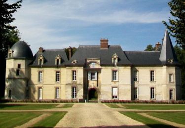
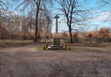
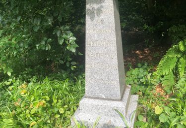
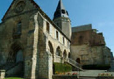
Tocht Stappen Verneuil-en-Halatte - Claudine Verneuil en Halatte - Photo

Claudine Verneuil en Halatte

 Francine
Francine

Gebruiker

© OpenStreetMap contributors
Lengte
Lengte
13,3 km
Max. hoogte
Max. hoogte
122 m
Positief hoogteverschil
222 m
Km-Effort
Km-Effort  
16,3 km
Min. hoogte
Min. hoogte
32 m
Negatief hoogteverschil
220 m
Boucle
Boucle
Ja
Datum van aanmaak :
2016-05-07 00:00:00.0
Laatste wijziging :
2016-05-07 00:00:00.0

(0 Bericht)

Stappen
Stappen
3h30
Moeilijkheid : Moeilijk

Scan deze QR-code om de tocht te openen in de SityTrail-applicatie

Gratisgps-wandelapplicatie

Logo SityTrail SityTrail

IGN / Geografische instituten

SityTrail uit de App Store downloaden SityTrail uit Google Play downloaden

Logo SityTrail SityTrail World

De wereld gaat voor u open

SityTrail uit de App Store downloaden SityTrail uit Google Play downloaden SityTrail op Huawei AppGallery downloaden

Over ons

Tocht Stappen van 13,3 km beschikbaar op Hauts-de-France, Oise, Verneuil-en-Halatte. Deze tocht wordt voorgesteld door Francine.

Beschrijving

Verneuil en Halatte

Hoogteprofiel

Plaatsbepaling

Land:
France
Regio :
Hauts-de-France
Departement/Provincie :
Oise
Gemeente :
Verneuil-en-Halatte
Locatie:
Unknown
Vertrek:(Dec)
Vertrek:(UTM)
464895 ; 5458122 (31U) N.

Wandeltochten in de omgeving

Tocht Stappen Beaurepaire - La mare aux oiseaux - Beaurepaire - Photo
Stappen
tracegps

Stappen

Medium
(1)
Beaurepaire, Hauts-de-France, Oise, France
8,4 km | 10,2 km-effort
2h 10min
Ja
Tocht Stappen Fleurines - Fleurines Grand parcours - Photo
Stappen
CC.RIDER

Stappen

Gemakkelijk
(1)
Fleurines, Hauts-de-France, Oise, France
20 km | 24 km-effort
5h 8min
Ja
Tocht Mountainbike Montataire - Rando des Forges 2012 - Montataire - Photo
Mountainbike
tracegps

Mountainbike

Medium
(1)
Montataire, Hauts-de-France, Oise, France
43 km | 51 km-effort
2h 30min
Ja
Tocht sport Villers-Saint-Paul - Villers St Paul - Espace P.Perret - La Croix Méfroid - 11 km - 62763153 - Photo
sport
000504.a7a78dc25ee64857bf95861a7cd4d5b5.1507

sport

Heel gemakkelijk
(1)
Villers-Saint-Paul, Hauts-de-France, Oise, France
11 km | 0 m-effort
Onbekend
Ja
Tocht Stappen Senlis - SM_FLEURINE (Poteau Belle Croix) 8.6Km - Photo
Stappen

Stappen

Medium
Senlis, Hauts-de-France, Oise, France
8,6 km | 10,5 km-effort
2h 23min
Ja
Tocht Stappen Verneuil-en-Halatte - 2022-01-30 balade nous samy nouveau grand tour départ vers marronniers retour fond ste geneviève  - Photo
Stappen
rolandmonjean

Stappen

Gemakkelijk
Verneuil-en-Halatte, Hauts-de-France, Oise, France
9,8 km | 11,8 km-effort
3h 13min
Ja
Tocht Stappen Aumont-en-Halatte - 2019-06-11 13:14:39 - Photo
Stappen
boularand

Stappen

Moeilijk
Aumont-en-Halatte, Hauts-de-France, Oise, France
13,7 km | 16,2 km-effort
3h 32min
Ja
Tocht Stappen Rieux - Rieux - Le Roc et l'eau - Photo
Stappen
tracegps

Stappen

Medium
Rieux, Hauts-de-France, Oise, France
9,7 km | 12,5 km-effort
2h 0min
Neen
Tocht sport Monchy-Saint-Éloi - 2022-09-28_13h36m37_<CAC9XJQ5buBJim13UVmX+3WM3tvG2H9PncH-espriqxQdtYHG3Q@mailgmailcom>_chedeville-9kmsgpxchedeville-9kms - Photo
sport
Marc ROUSSELOT

sport

Heel gemakkelijk
Monchy-Saint-Éloi, Hauts-de-France, Oise, France
8 km | 9,5 km-effort
Onbekend
Ja


Sluiten
Mijn abonnementen