


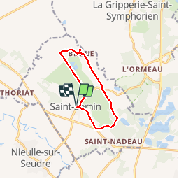


9,6 km | 10,1 km-effort

Gebruiker


Gratisgps-wandelapplicatie
 SityTrail
IGN / Geografische instituten
SityTrail World
De wereld gaat voor u open
Tocht Stappen van 9,9 km beschikbaar op Nieuw-Aquitanië, Charente-Maritime, Saint-Sornin. Deze tocht wordt voorgesteld door Bobol.
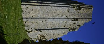
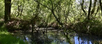
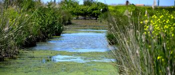
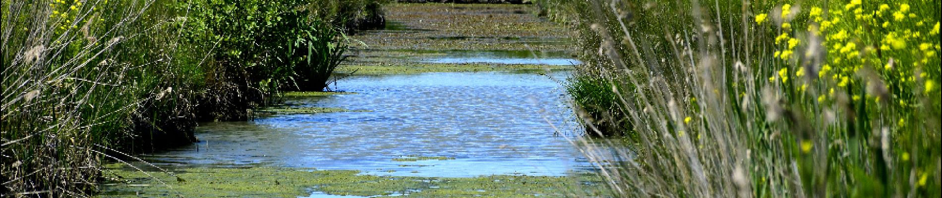
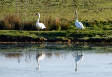
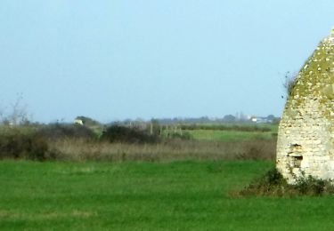
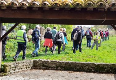
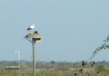
Petite ballade vers la tour de Broue. Le début est boisé et le retour dans les marais.
Aucune difficulté particulière.


Stappen
Te voet
Stappen
Te voet
Stappen
Stappen

Stappen

Hybride fiets
Stappen