


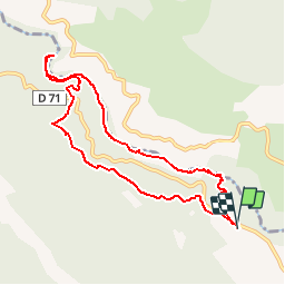


9,3 km | 20 km-effort

Gebruiker


Gratisgps-wandelapplicatie
 SityTrail
IGN / Geografische instituten
SityTrail World
De wereld gaat voor u open
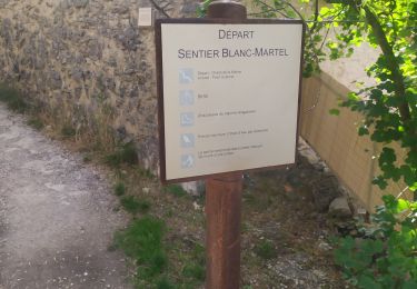
Tocht Stappen van 9,5 km beschikbaar op Provence-Alpes-Côte d'Azur, Var, Aiguines. Deze tocht wordt voorgesteld door Palimpseste.
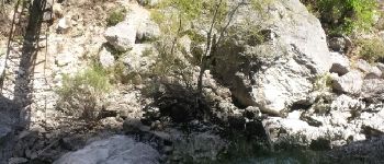
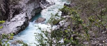
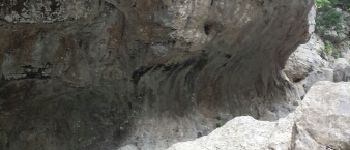
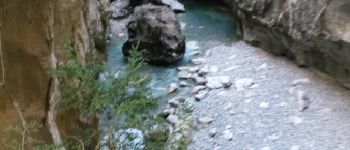
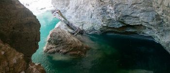
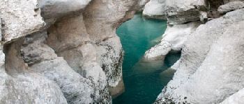
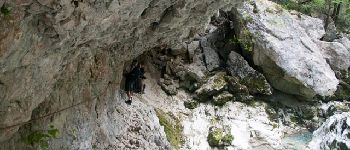
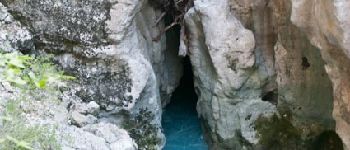
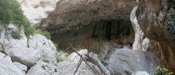
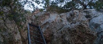
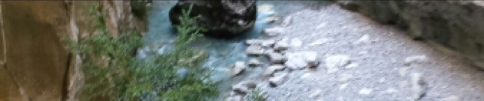
Difficile mais belle randonnée qui mêle la contemplation d’un paysage splendide au plaisir de passages un peu physiques. Vient s’ajouter, l’ambiance un peu dramatique des plaques commémorant des accidents.


Stappen

Stappen

Stappen

Stappen

Stappen
Stappen

Stappen
Stappen
Stappen