


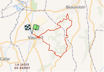

22 km | 23 km-effort


Gebruiker


Gratisgps-wandelapplicatie
 SityTrail
IGN / Geografische instituten
SityTrail World
De wereld gaat voor u open
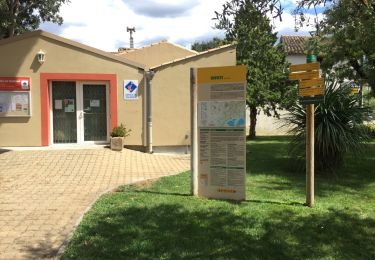
Tocht Stappen van 18 km beschikbaar op Occitanië, Gard, Vauvert. Deze tocht wordt voorgesteld door grageot.
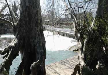
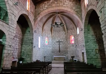
Ballade sans difficulté dans les bois et vallons des Costières : à voir les salines demander explications, une petite visite dans le vieux Vauveert pour la fin avec montée au Castellas
Stappen

Stappen
Stappen

Hybride fiets

Stappen
Stappen

Wegfiets
Stappen