

Ebersheim et Ebersmunster

VacheKiri67
Gebruiker

Lengte
8,3 km

Max. hoogte
169 m

Positief hoogteverschil
44 m

Km-Effort
8,9 km

Min. hoogte
156 m

Negatief hoogteverschil
44 m
Boucle
Ja
Datum van aanmaak :
2016-04-14 00:00:00.0
Laatste wijziging :
2016-04-14 00:00:00.0
2h28
Moeilijkheid : Gemakkelijk

Gratisgps-wandelapplicatie
Over ons
Tocht Stappen van 8,3 km beschikbaar op Grand Est, Bas-Rhin, Ebersheim. Deze tocht wordt voorgesteld door VacheKiri67.
Beschrijving
Faite le 14/04/2016 avec notre fils de 11 ans. D'après "Passion Vosges - Escapade en Alsace centrale" N°11 : Entre nature et culture. Durée indiquée pour le circuit : 2h30.
Plaatsbepaling
Land:
France
Regio :
Grand Est
Departement/Provincie :
Bas-Rhin
Gemeente :
Ebersheim
Locatie:
Unknown
Vertrek:(Dec)
Vertrek:(UTM)
388869 ; 5350782 (32U) N.
Opmerkingen
Wandeltochten in de omgeving
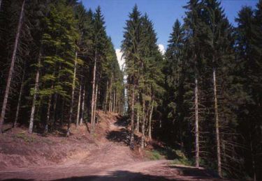
Sentier de l'Illwald


Stappen
Medium
(1)
Sélestat,
Grand Est,
Bas-Rhin,
France

13,2 km | 14,6 km-effort
3h 45min
Ja
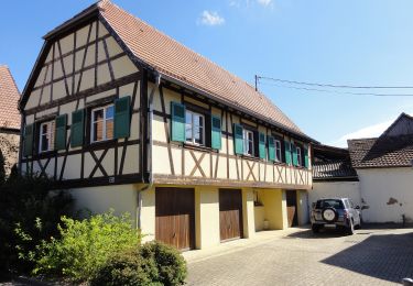
Circuit de la Chouette


Te voet
Gemakkelijk
Muttersholtz,
Grand Est,
Bas-Rhin,
France

6,2 km | 6,6 km-effort
1h 29min
Ja

Sentier de la Cigogne


Te voet
Gemakkelijk
Muttersholtz,
Grand Est,
Bas-Rhin,
France

8,7 km | 9,4 km-effort
2h 7min
Ja
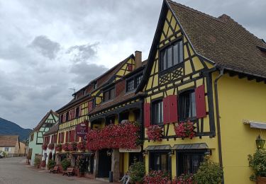
Vignoble


Elektrische fiets
Heel gemakkelijk
Sélestat,
Grand Est,
Bas-Rhin,
France

50 km | 57 km-effort
3h 4min
Neen
Sélestat eckbo


Elektrische fiets
Medium
Sélestat,
Grand Est,
Bas-Rhin,
France

65 km | 72 km-effort
4h 6min
Neen
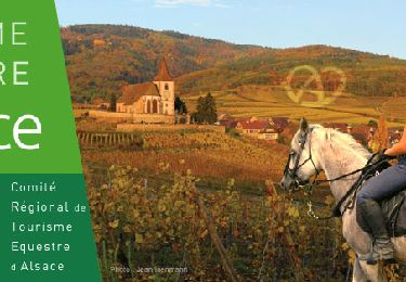
SityTrail - Boucle attelage Hilsenheim - Huttenheim


Paardrijden
Medium
Hilsenheim,
Grand Est,
Bas-Rhin,
France

24 km | 25 km-effort
3h 17min
Ja
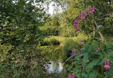
(09/9/2019) Le ried à Selestat


Stappen
Heel gemakkelijk
Sélestat,
Grand Est,
Bas-Rhin,
France

15,3 km | 17 km-effort
3h 38min
Ja
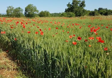
LE RIED DE MUTTERSHOLTZ


Stappen
Heel gemakkelijk
Muttersholtz,
Grand Est,
Bas-Rhin,
France

11,6 km | 12,7 km-effort
3h 44min
Ja
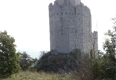
Ungersberg par GR5


Mountainbike
Moeilijk
Sélestat,
Grand Est,
Bas-Rhin,
France

44 km | 59 km-effort
3h 46min
Ja


 SityTrail


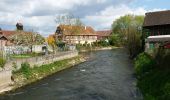

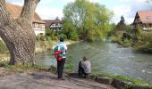
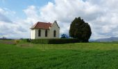
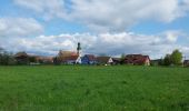


parcours exclusivement sur macadam, dommage. le principal intérêt est l'abbaye d'Ebersmunster et la petite chapelle de la Feldlach (hélas fermée) je conseillerais plutôt cette balade aux cyclistes.
L'église d'Ebersmunster est remarquable et mérite elle 5 étoiles ! Pour le reste le parcours est sur terrain plat dans le Ried.