


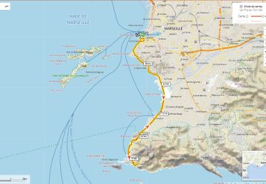
2,7 km | 3,4 km-effort


Gebruiker


Gratisgps-wandelapplicatie
 SityTrail
IGN / Geografische instituten
SityTrail World
De wereld gaat voor u open
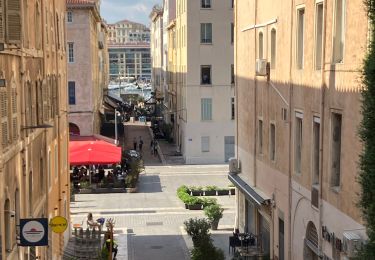
Tocht Stappen van 3 km beschikbaar op Provence-Alpes-Côte d'Azur, Bouches-du-Rhône, Marseille. Deze tocht wordt voorgesteld door ARPF.
Marseille 4ème arrondissement .
Gare St Charles à l'Eglise des Chartreux en passant par le Palais Longchamp.

Stappen

Stappen

Stappen

Stappen
Stappen
Stappen
Stappen
Wegfiets
Stappen