


12,7 km | 16,8 km-effort


Randonnées de la Maison du Tourisme de Spa Hautes-Fagnes Ardennes PRO


Gratisgps-wandelapplicatie
 SityTrail
IGN / Geografische instituten
SityTrail World
De wereld gaat voor u open
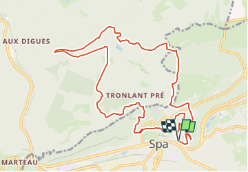
Tocht Trail van 11,4 km beschikbaar op Wallonië, Luik, Spa. Deze tocht wordt voorgesteld door Maison du Tourisme de Spa Hautes-Fagnes Ardennes.
Let op - er wordt een omleiding ingesteld bij de stuwdam van de Chawion-vijver (aangepaste route op deze Sitytrail-cursus), waarvan de toegang tot nader order is afgesloten wegens werkzaamheden.
Voor de laatste informatie over Extratrail® en actuele GPX-routes kunt u rechtstreeks naar de Extratrail®-website gaan:
www.extratrail.com
EXTRATRAIL
Haut Nivezé, 25
4845 Jalhay
België
run@extratrail.com
 - Photo 1")

Stappen

Stappen
Stappen
Stappen
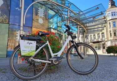
Fiets

Elektrische fiets
Stappen

Stappen
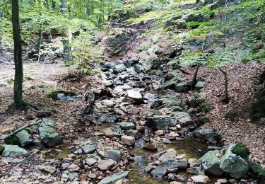
Chouette parcours !
Parcours superbe dans les bois au nord de Spa. La couleur bleu de celui-ci correspond bien à l'ensemble, même si les principales difficultés physiques se concentrent essentiellement sur la première partie. Au niveau technique, le parcours présente quelques passages pouvant s'avérer plus délicat en cas de temps humide, mais l'ensemble est assez facile.