


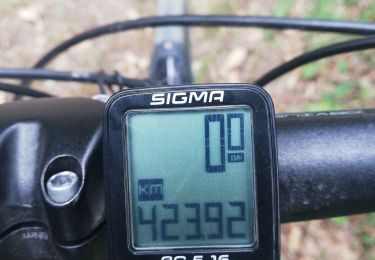
16,6 km | 17,8 km-effort


Gebruiker


Gratisgps-wandelapplicatie
 SityTrail
IGN / Geografische instituten
SityTrail World
De wereld gaat voor u open
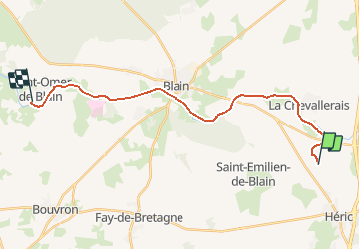
Tocht Stappen van 21 km beschikbaar op Pays de la Loire, Loire-Atlantique, Héric. Deze tocht wordt voorgesteld door copter.
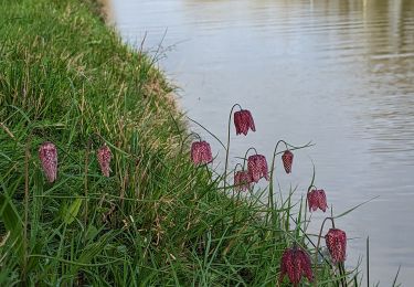
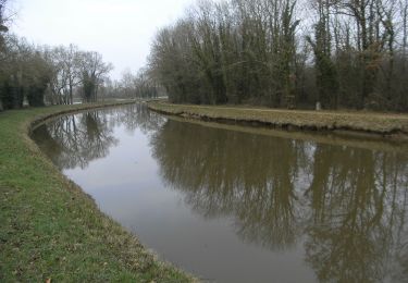
Canal Nantes à Brest à pied.
De la Renaudais à Saint Omer de Blain en passant par le château de Blain.
Stappen
Te voet
Hybride fiets

Mountainbike

Noords wandelen
Noords wandelen

Stappen
Noords wandelen
Stappen