


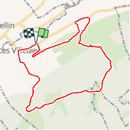

10,4 km | 13,8 km-effort


Gebruiker


Gratisgps-wandelapplicatie
 SityTrail
IGN / Geografische instituten
SityTrail World
De wereld gaat voor u open
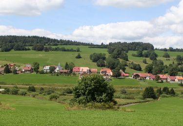
Tocht Stappen van 10,1 km beschikbaar op Bourgondië-Franche-Comté, Doubs, Les Villedieu. Deze tocht wordt voorgesteld door micheldutilleul.
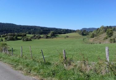
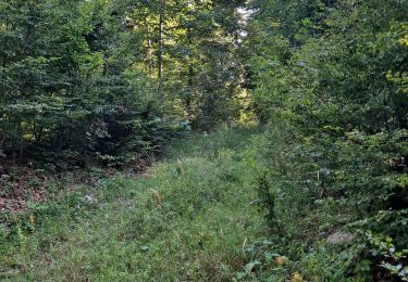
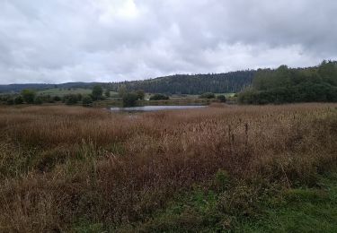
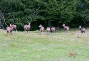
Val de Mouthe. Départ de Villedieu-les-Mouthe. Découverte de 5 chalets d'alpage. (Randonée 14 www.otmouthe.com)
Stappen

Stappen

Stappen
Stappen
Te voet
Stappen
Stappen
Mountainbike

Stappen