


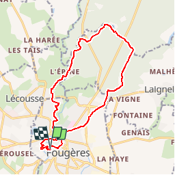

5,3 km | 6,3 km-effort


Gebruiker


Gratisgps-wandelapplicatie
 SityTrail
IGN / Geografische instituten
SityTrail World
De wereld gaat voor u open
Tocht Stappen van 15 km beschikbaar op Bretagne, Ille-et-Vilaine, Fougères. Deze tocht wordt voorgesteld door neoroll44.
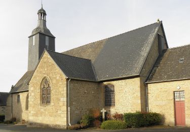
De l'église St-Léonard, St-Sulpice, le château et la forêt de Fougères.
Te voet
Te voet
Noords wandelen
Noords wandelen
Noords wandelen
Noords wandelen
Noords wandelen
Noords wandelen
Noords wandelen