


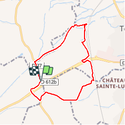

15 km | 18,2 km-effort


Gebruiker


Gratisgps-wandelapplicatie
 SityTrail
IGN / Geografische instituten
SityTrail World
De wereld gaat voor u open
Tocht Stappen van 7,8 km beschikbaar op Occitanië, Pyrénées-Orientales, Thuir. Deze tocht wordt voorgesteld door jeff66.
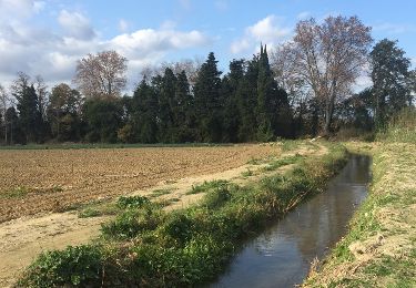
66 TOULOUGES, promenade entre la Basse, la L.G.V. Et le canal de Perpignan, mas Santa Teresa, mas de l'arbre,
Mas de Rieres, Colomina d'en Quaranta, mas Delrieux, château Lauriga, emprunter la Rd37, passer sous la RD612a

Stappen
Stappen

Mountainbike
Stappen
Stappen
Stappen
Stappen

Stappen
Stappen