


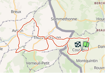


7,5 km | 11 km-effort


Randonnez sur et autour des GR ® wallons (Sentiers de Grande Randonnée). PRO


Gratisgps-wandelapplicatie
 SityTrail
IGN / Geografische instituten
SityTrail World
De wereld gaat voor u open
Tocht Stappen van 26 km beschikbaar op Wallonië, Luxemburg, Rouvroy. Deze tocht wordt voorgesteld door GR Rando.
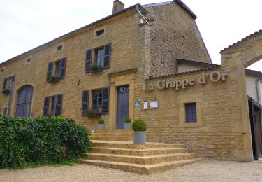
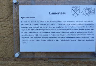
RB-Lu-18 - Boucle française -En Provence belge
Stappen
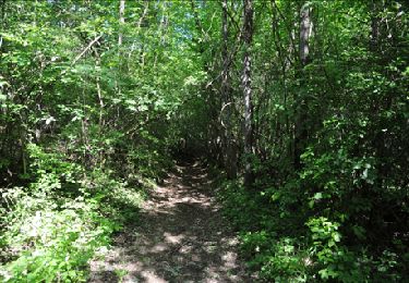
Te voet
Te voet
Stappen

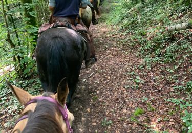
Paardrijden
Stappen

Te voet
Mountainbike