


20 km | 28 km-effort

Gebruiker


Gratisgps-wandelapplicatie
 SityTrail
IGN / Geografische instituten
SityTrail World
De wereld gaat voor u open
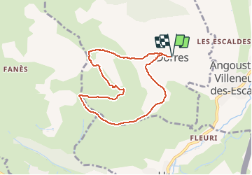
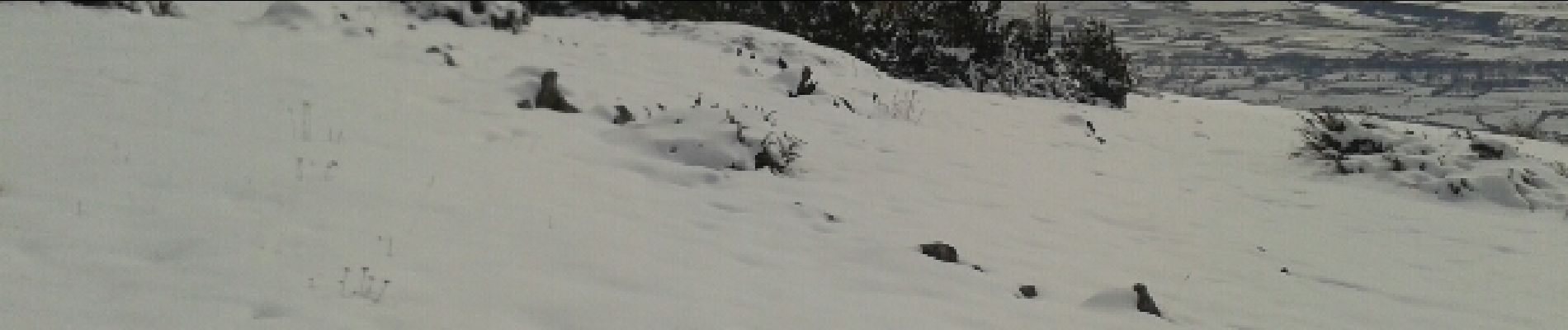
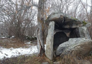
Tocht Sneeuwschoenen van 7,9 km beschikbaar op Occitanië, Pyrénées-Orientales, Dorres. Deze tocht wordt voorgesteld door jpipacific.
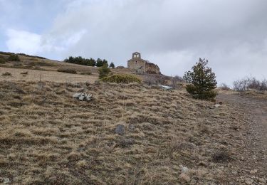
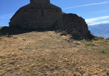
Belle rando facile. Une montée un peu raide, longue descente en pente douce avec un panorama magnifique tout du long. A la chapelle panorama superbe sur toute la vallée et les montagnes environnantes.


Stappen

Stappen
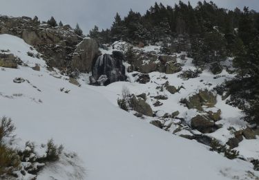
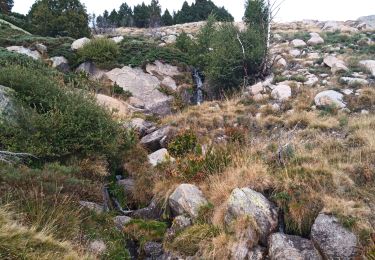
Sneeuwschoenen
Stappen
Stappen
Stappen
Stappen
Stappen
Stappen