


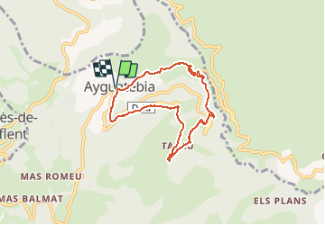

15,8 km | 25 km-effort


Gebruiker


Gratisgps-wandelapplicatie
 SityTrail
IGN / Geografische instituten
SityTrail World
De wereld gaat voor u open
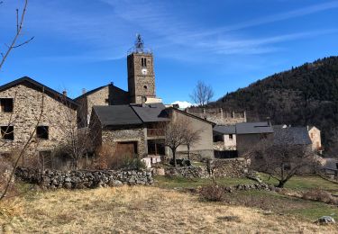
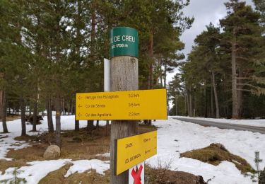
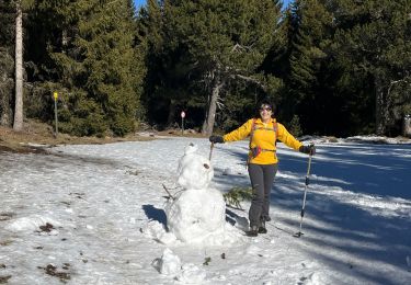
Tocht Sneeuwschoenen van 7,3 km beschikbaar op Occitanië, Pyrénées-Orientales, Ayguatébia-Talau. Deze tocht wordt voorgesteld door jpipacific.
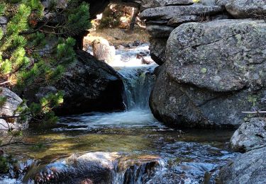
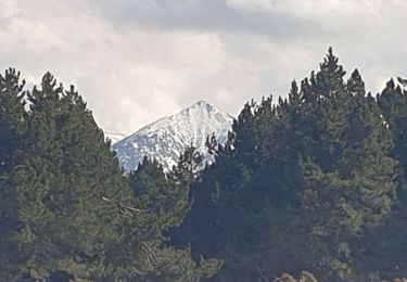
Pas assez sauvage. Beaucoup de route à prendre et à la vue tout le temps. Quelques points de vue sur la deuxième partie du parcours mais rien de bien sensationnel. Les dénivelés sont importants. La ballade ne vaut pas les efforts qu'elle demande. Point positif, nous avons vu deux fois des izards en début de parcours.
Stappen
Sneeuwschoenen
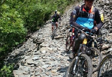
Mountainbike

sport
Stappen
Stappen
Stappen
Stappen
Stappen