26 km | 37 km-effort
branceilles
fanthou
Gebruiker
Lengte
5,2 km
Max. hoogte
210 m
Positief hoogteverschil
121 m
Km-Effort
6,8 km
Min. hoogte
137 m
Negatief hoogteverschil
123 m
Boucle
Ja
Datum van aanmaak :
2016-03-12 00:00:00.0
Laatste wijziging :
2016-03-12 00:00:00.0
1h27
Moeilijkheid : Gemakkelijk
Gratisgps-wandelapplicatie
Over ons
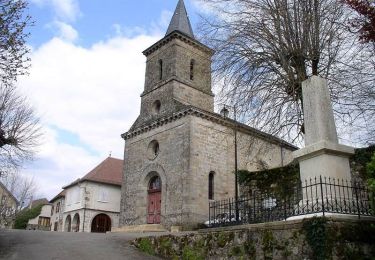
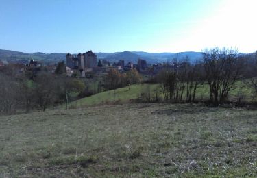
Tocht Stappen van 5,2 km beschikbaar op Nieuw-Aquitanië, Corrèze, Branceilles. Deze tocht wordt voorgesteld door fanthou.
Plaatsbepaling
Land:
France
Regio :
Nieuw-Aquitanië
Departement/Provincie :
Corrèze
Gemeente :
Branceilles
Locatie:
Unknown
Vertrek:(Dec)
Vertrek:(UTM)
398231 ; 4984960 (31T) N.
Opmerkingen
Wandeltochten in de omgeving
Entre vignes et noyers - Queyssac les Vignes
Stappen
Medium
(1)
Queyssac-les-Vignes,
Nieuw-Aquitanië,
Corrèze,
France
8 km | 10,7 km-effort
2h 0min
Ja
Le bois de l'empire
Mountainbike
Moeilijk
(1)
Chauffour-sur-Vell,
Nieuw-Aquitanië,
Corrèze,
France
26 km | 34 km-effort
3h 0min
Ja
Le vin paillé
Stappen
Gemakkelijk
(1)
Queyssac-les-Vignes,
Nieuw-Aquitanië,
Corrèze,
France
10,4 km | 13,8 km-effort
2h 30min
Ja
Aux confins du Quercy - Chauffour sur Vell - Pays de la vallée de la Dordogne...
Mountainbike
Medium
(1)
Chauffour-sur-Vell,
Nieuw-Aquitanië,
Corrèze,
France
15,5 km | 18,7 km-effort
1h 19min
Ja
Boucle de Meyssac à Beynat
Mountainbike
Zeer moeilijk
(1)
Meyssac,
Nieuw-Aquitanië,
Corrèze,
France
40 km | 53 km-effort
3h 41min
Ja
Circuit VTT Meyssac -Saillac-Ligneyrac-Collonges
Mountainbike
Zeer moeilijk
(1)
Meyssac,
Nieuw-Aquitanië,
Corrèze,
France
34 km | 44 km-effort
2h 54min
Ja
2019-12-28_17h26m41_L'Hôpital(32km)
Mountainbike
Moeilijk
(1)
Chauffour-sur-Vell,
Nieuw-Aquitanië,
Corrèze,
France
32 km | 41 km-effort
2h 48min
Ja
curemonte/Collonges:la boucle verte
Mountainbike
Medium
(1)
Chauffour-sur-Vell,
Nieuw-Aquitanië,
Corrèze,
France
31 km | 39 km-effort
2h 31min
Ja