17,1 km | 23 km-effort
trois monts vallée d'hamars
albers
Gebruiker
Lengte
23 km
Max. hoogte
269 m
Positief hoogteverschil
610 m
Km-Effort
31 km
Min. hoogte
23 m
Negatief hoogteverschil
606 m
Boucle
Neen
Datum van aanmaak :
2016-03-11 00:00:00.0
Laatste wijziging :
2016-03-11 00:00:00.0
2h10
Moeilijkheid : Moeilijk
Gratisgps-wandelapplicatie
Over ons
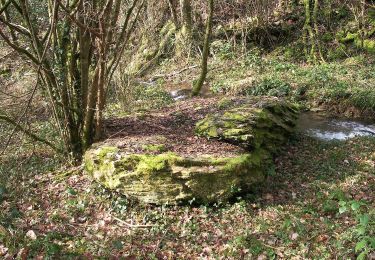
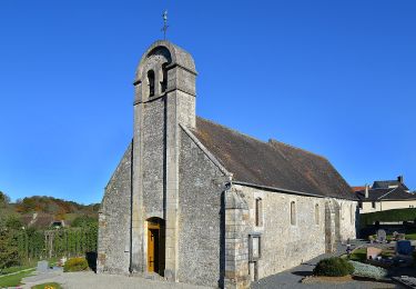
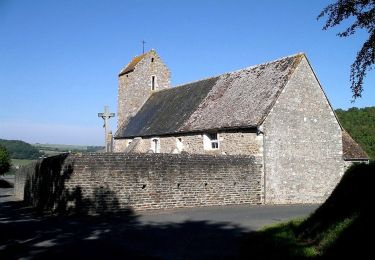
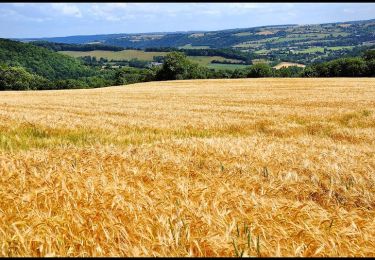
Tocht Mountainbike van 23 km beschikbaar op Normandië, Calvados, Le Hom. Deze tocht wordt voorgesteld door albers.
Beschrijving
le départ est brutal, voir méchant... les premiers kilomètres pique un peu. a essayer dans l'autre sens.
Plaatsbepaling
Land:
France
Regio :
Normandië
Departement/Provincie :
Calvados
Gemeente :
Le Hom
Locatie:
Thury-Harcourt
Vertrek:(Dec)
Vertrek:(UTM)
684215 ; 5429217 (30U) N.
Opmerkingen
Wandeltochten in de omgeving
Le Mouin du Fay
Te voet
Gemakkelijk
Culey-le-Patry,
Normandië,
Calvados,
France
4,8 km | 6,7 km-effort
1h 31min
Neen
D'Espins au Moulin du traspy
Te voet
Gemakkelijk
Espins,
Normandië,
Calvados,
France
6,9 km | 9 km-effort
2h 3min
Ja
La Chapelle Bonne Nouvelle
Te voet
Gemakkelijk
Esson,
Normandië,
Calvados,
France
9,5 km | 13,3 km-effort
3h 1min
Ja
GRP Tour de la Suisse Normande
Te voet
Moeilijk
Esson,
Normandië,
Calvados,
France
25 km | 35 km-effort
7h 58min
Neen
VTT Suisse Normande N°10 - St Rémy sur Orne
Mountainbike
Gemakkelijk
Saint-Rémy,
Normandië,
Calvados,
France
15,8 km | 20 km-effort
1h 30min
Ja
le pont Hom (boucle)
Stappen
Medium
(1)
Le Hom,
Normandië,
Calvados,
France
12,1 km | 16 km-effort
2h 45min
Ja
ouffi
Stappen
Moeilijk
(1)
Ouffières,
Normandië,
Calvados,
France
10 km | 12,7 km-effort
2h 34min
Ja
Voie verte suisse normande
Wegfiets
Gemakkelijk
Montillières-sur-Orne,
Normandië,
Calvados,
France
47 km | 53 km-effort
4h 14min
Ja