


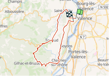

31 km | 41 km-effort


Gebruiker


Gratisgps-wandelapplicatie
 SityTrail
IGN / Geografische instituten
SityTrail World
De wereld gaat voor u open
Tocht Fiets van 33 km beschikbaar op Auvergne-Rhône-Alpes, Ardèche, Guilherand-Granges. Deze tocht wordt voorgesteld door aps07.
tracé extrait du parcours de 200 kms de la boucle cycliste internationale ' (180 coureurs pro )dénommé "course classic sud-ardeche " du 270216 (guilherand- guilherand .

Mountainbike
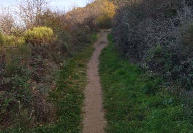
Stappen
Stappen

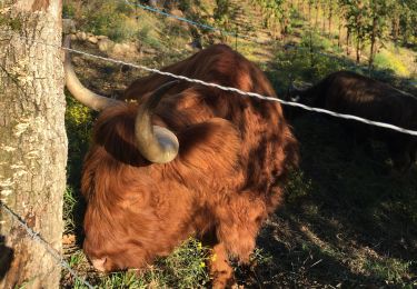
Stappen
Stappen
Stappen

Stappen
Stappen
Stappen