

Toulon tour du Mont Faron

MBMaes
Gebruiker

Lengte
15,9 km

Max. hoogte
577 m

Positief hoogteverschil
620 m

Km-Effort
24 km

Min. hoogte
157 m

Negatief hoogteverschil
626 m
Boucle
Ja
Datum van aanmaak :
2016-04-03 00:00:00.0
Laatste wijziging :
2020-03-17 14:38:13.667
5h28
Moeilijkheid : Medium

Gratisgps-wandelapplicatie
Over ons
Tocht Stappen van 15,9 km beschikbaar op Provence-Alpes-Côte d'Azur, Var, Toulon. Deze tocht wordt voorgesteld door MBMaes.
Beschrijving
Toulon tour du Mont Faron en passant par les forts, le zoo, le musée et la station du télécabine.
Exceptionnel,très jolies vues.
Plaatsbepaling
Land:
France
Regio :
Provence-Alpes-Côte d'Azur
Departement/Provincie :
Var
Gemeente :
Toulon
Locatie:
Unknown
Vertrek:(Dec)
Vertrek:(UTM)
737241 ; 4781019 (31T) N.
Opmerkingen
Wandeltochten in de omgeving
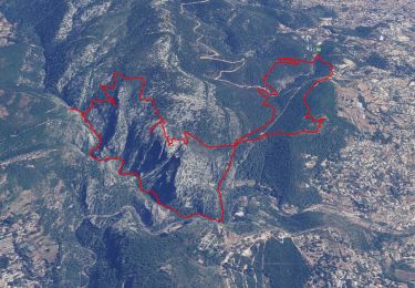
SityTrail - 1041295 - le-destel-grotte-des-joncs


Stappen
Medium
(1)
Ollioules,
Provence-Alpes-Côte d'Azur,
Var,
France

11,8 km | 19,3 km-effort
4h 23min
Ja
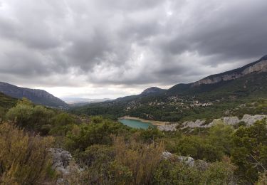
Boucle: La ripelle - Source de la ripelle - Le Chateau de Tourris - Les grott...


Stappen
Medium
(1)
Le Revest-les-Eaux,
Provence-Alpes-Côte d'Azur,
Var,
France

14,1 km | 21 km-effort
4h 15min
Ja
Faron versant Nord


Stappen
Zeer moeilijk
(1)
Toulon,
Provence-Alpes-Côte d'Azur,
Var,
France

9,9 km | 17,5 km-effort
6h 38min
Ja
Faron côté nord


Stappen
Moeilijk
(1)
Toulon,
Provence-Alpes-Côte d'Azur,
Var,
France

4,6 km | 10,1 km-effort
3h 8min
Neen
83 barrage revest les eaux 24-05-2021


Stappen
Medium
(1)
Le Revest-les-Eaux,
Provence-Alpes-Côte d'Azur,
Var,
France

8 km | 12,3 km-effort
3h 41min
Ja
Tour Du Baou par falaises


Stappen
Medium
(1)
Toulon,
Provence-Alpes-Côte d'Azur,
Var,
France

7,3 km | 11,3 km-effort
2h 10min
Ja
Le broussan croupatier fin randonnée


Stappen
Medium
(3)
Évenos,
Provence-Alpes-Côte d'Azur,
Var,
France

10,6 km | 14,9 km-effort
5h 18min
Ja

Boucle: Ripelle - Touravelle - Ruines des olivieres - Carrière aux fourmis ...


Stappen
Medium
(1)
Le Revest-les-Eaux,
Provence-Alpes-Côte d'Azur,
Var,
France

13,4 km | 19,4 km-effort
5h 0min
Ja
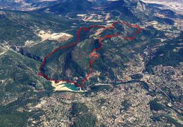
SityTrail - Le Revest - Tourris - Confinement 04 2021


Stappen
Gemakkelijk
La Valette-du-Var,
Provence-Alpes-Côte d'Azur,
Var,
France

11,8 km | 18,8 km-effort
7h 0min
Ja


 SityTrail


