


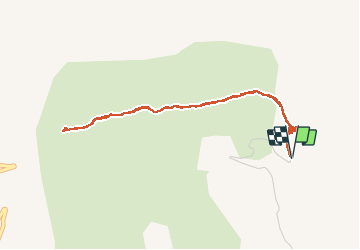

11 km | 21 km-effort

Gebruiker


Gratisgps-wandelapplicatie
 SityTrail
IGN / Geografische instituten
SityTrail World
De wereld gaat voor u open
Tocht Stappen van 4,6 km beschikbaar op Provence-Alpes-Côte d'Azur, Alpes-de-Haute-Provence, Noyers-sur-Jabron. Deze tocht wordt voorgesteld door Dervalmarc.
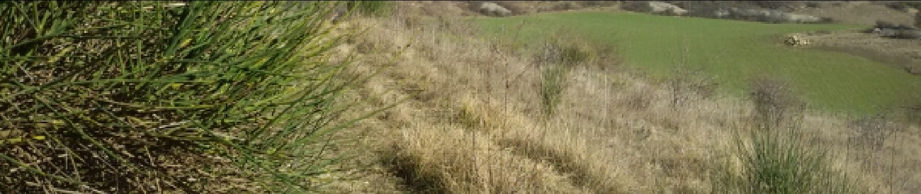
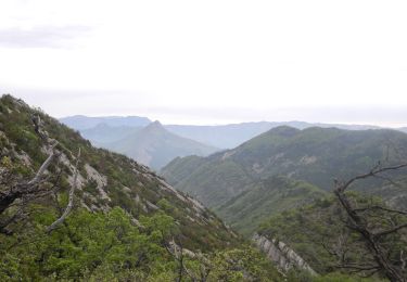
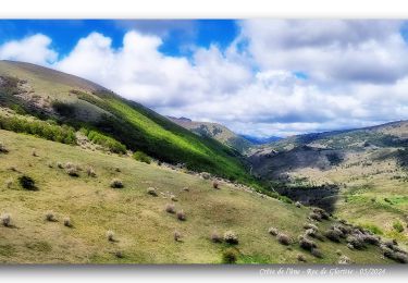
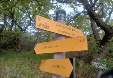
Très belle randonnée dans la Provence de Giono. Parsemée de vieilles ruines et de troupeaux dans les collines . Pour terminer sur la chapelle romane de St Claude perdue sur un plateau.
 - Photo 1")
 - Photo 2")
 - Photo 3")
 - Photo 4")
 - Photo 5")
 - Photo 6")
 - Photo 7")
 - Photo 8")
 - Photo 9")

Stappen

Stappen

Stappen

Stappen

Stappen

Stappen
Stappen
Stappen
Stappen