


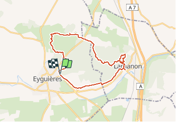

8,8 km | 11,4 km-effort


Gebruiker


Gratisgps-wandelapplicatie
 SityTrail
IGN / Geografische instituten
SityTrail World
De wereld gaat voor u open
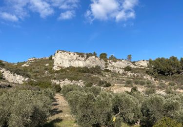
Tocht Stappen van 16,1 km beschikbaar op Provence-Alpes-Côte d'Azur, Bouches-du-Rhône, Eyguières. Deze tocht wordt voorgesteld door Lisa84.
Départ d'Eguières vers Lamanon- Platane millénaire, grottes de Calès, Château de la Reine Jeanne, les Gillouses.
Stappen

Stappen

Stappen
Stappen
Stappen

Stappen
Stappen
Stappen

Stappen