


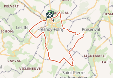

11,6 km | 13,9 km-effort


Gebruiker


Gratisgps-wandelapplicatie
 SityTrail
IGN / Geografische instituten
SityTrail World
De wereld gaat voor u open
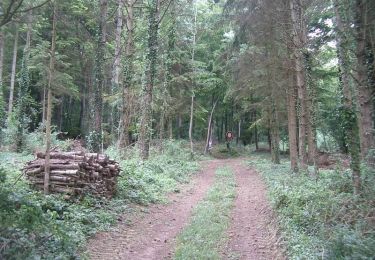
Tocht Stappen van 15,4 km beschikbaar op Normandië, Seine-Maritime, Fresnoy-Folny. Deze tocht wordt voorgesteld door BaladesEN.
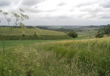
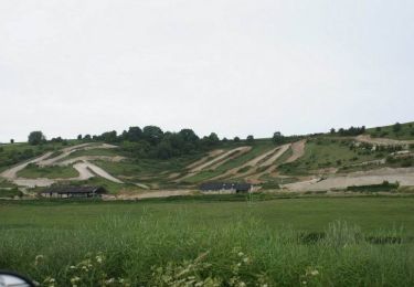
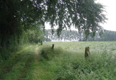
Cette randonnée nous promène autour de Fresnoy-Folny dans un paysage de plaine agricole. La descente dans les fonds de Londinières, et la remontée du fond du Vau Gosse, offrent des paysages superbes. http://baladesennormandie.fr
Stappen
Stappen
Stappen
Stappen

Te voet

Stappen