


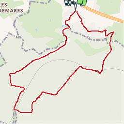

12,5 km | 15,3 km-effort


Gebruiker


Gratisgps-wandelapplicatie
 SityTrail
IGN / Geografische instituten
SityTrail World
De wereld gaat voor u open
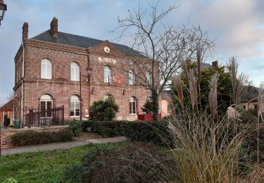
Tocht Stappen van 9,9 km beschikbaar op Normandië, Eure, Saint-Ouen-de-Thouberville. Deze tocht wordt voorgesteld door BaladesEN.
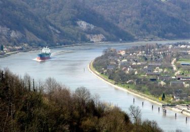
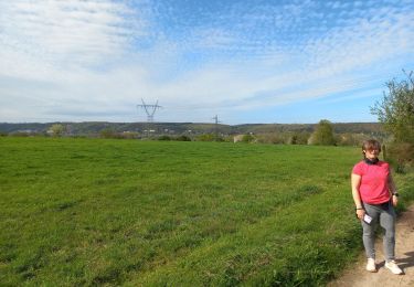
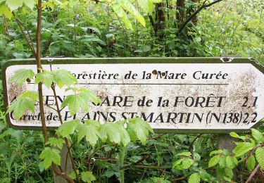
Petite randonnée forestière en Forêt Domaniale de la Londe-Rouvray. Cette partie ouest de la forêt est moins connue. En période très humide, nous avons choisi un itinéraire hors des chemins embourbés. http://baladesennormandie.fr

Stappen
Paard

Te voet

Stappen

Stappen
Stappen

Stappen
Stappen
Stappen