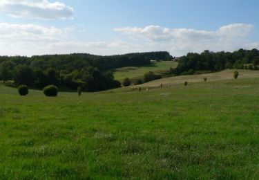
21 km | 28 km-effort
labastide du haut mont
daniel46100
Gebruiker
Lengte
13,1 km
Max. hoogte
783 m
Positief hoogteverschil
426 m
Km-Effort
18,8 km
Min. hoogte
569 m
Negatief hoogteverschil
424 m
Boucle
Ja
Datum van aanmaak :
2016-01-17 00:00:00.0
Laatste wijziging :
2022-09-14 08:17:38.132
3h56
Moeilijkheid : Medium
Gratisgps-wandelapplicatie
Over ons
Tocht Stappen van 13,1 km beschikbaar op Occitanië, Lot, Labastide-du-Haut-Mont. Deze tocht wordt voorgesteld door daniel46100.
Plaatsbepaling
Land:
France
Regio :
Occitanië
Departement/Provincie :
Lot
Gemeente :
Labastide-du-Haut-Mont
Locatie:
Unknown
Vertrek:(Dec)
Vertrek:(UTM)
430628 ; 4964972 (31T) N.
Opmerkingen
Wandeltochten in de omgeving
Circuit du lac du Tolerme - Sénaillac-Latronquière
Stappen
Medium
(1)
Sénaillac-Latronquière,
Occitanië,
Lot,
France
8,9 km | 11,1 km-effort
2h 30min
Ja
circuit 11 amelioré
Lopen
Medium
Sousceyrac-en-Quercy,
Occitanië,
Lot,
France
14,2 km | 18,6 km-effort
1h 25min
Ja
Saint saur y
Stappen
Saint-Saury,
Auvergne-Rhône-Alpes,
Cantal,
France
5,9 km | 7,3 km-effort
1h 25min
Ja
2
Paardrijden
Gemakkelijk
Labastide-du-Haut-Mont,
Occitanië,
Lot,
France
3,8 km | 4,9 km-effort
38min
Neen